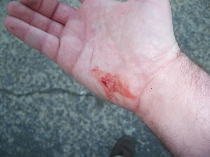
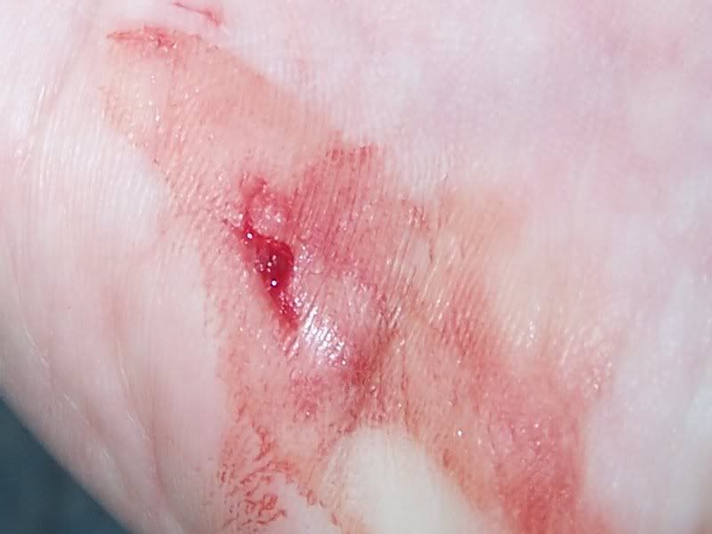
Geocaching Megablog - Part II begins with an injury!
Isn't the zoom feature on my camera neat?
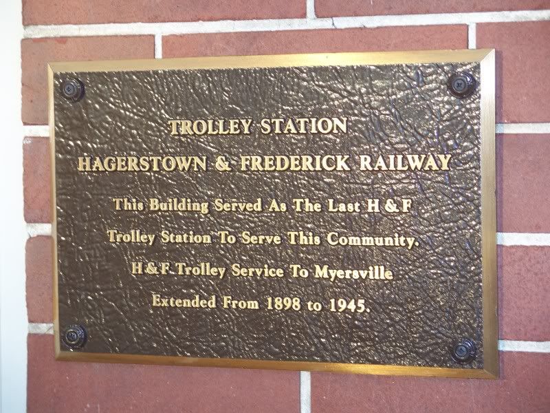
I was in Myersville, in a micro-park next to the building with this plaque on it.
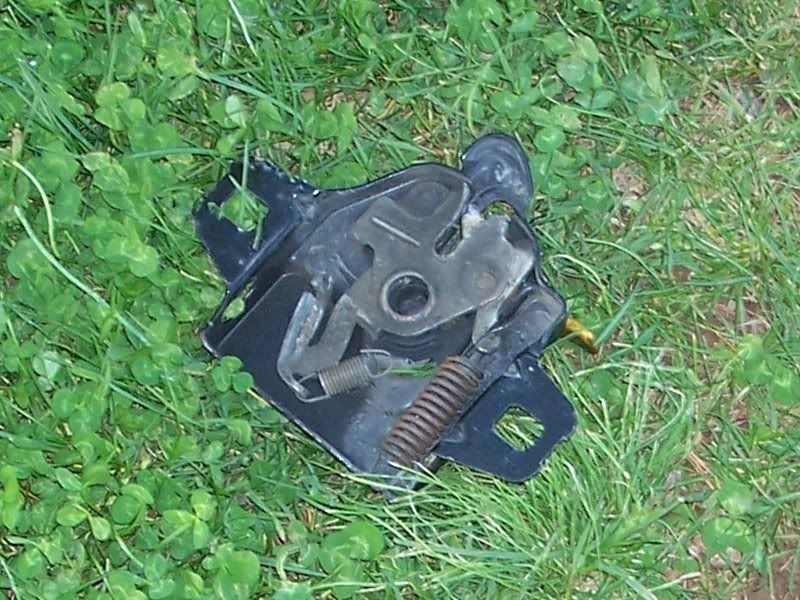
Believe it or not, I used this to help me find a cache container. I needed it to pry open a water meter lid that was actually covering up the cache container instead of a water meter. In case you don't recognize this, it's the original hood release mechanism from the engine compartment crossmember of my Intrepid that was smashed up when I wrecked it. The one I pulled from the junkyard had one, too, so I took this one off of the crossmember and kept it just in case I would need it. And so I did! Although this was not exactly what I had in mind.
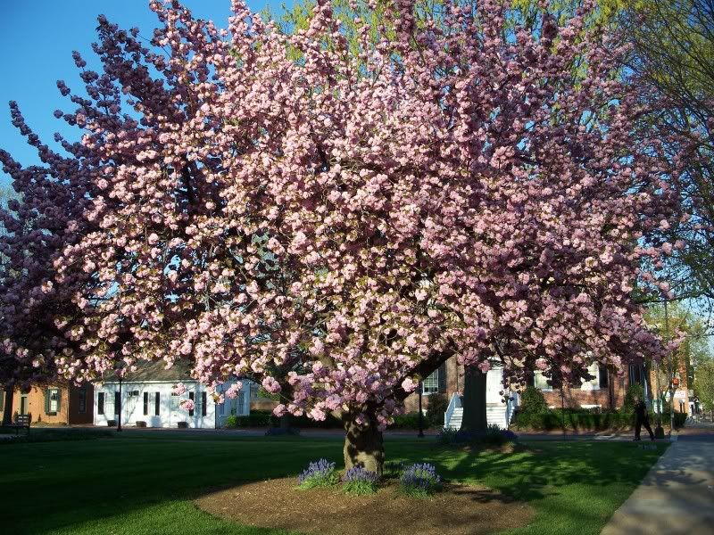
Not to be outdone by Rockville, Frederick has a big pink tree, too! I was picking up the MML caches in Myersville and Frederick.
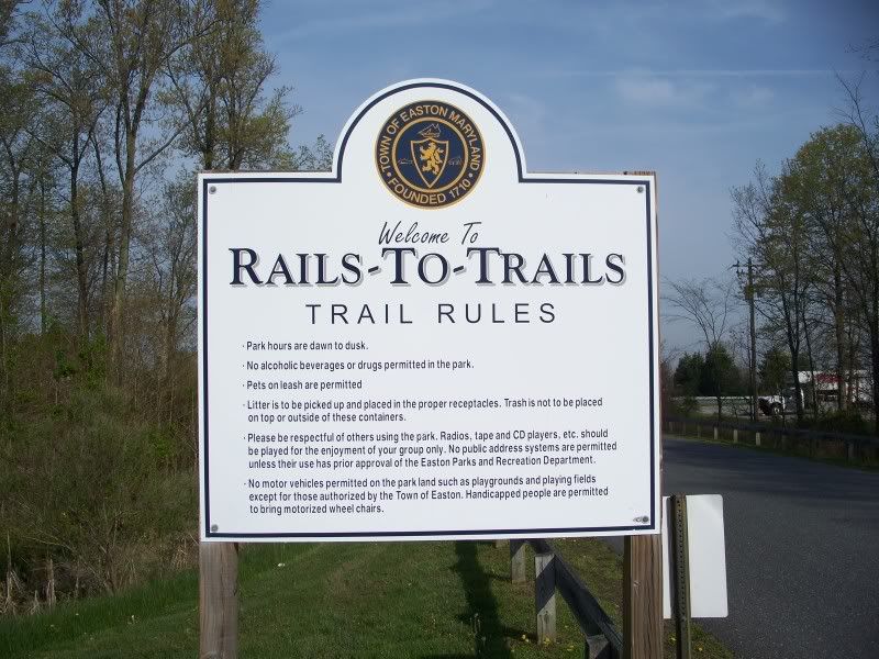
I got up the next Saturday morning in the dark (!) so I could get an early start on geocaching that day. You might remember from "Geocache Megablog - Part I" that the CAM 2009 series has a deadline. As it stood, I had two caches down and the picnic was the following Saturday! I had to get a move on or else I wasn't going to find all of the caches in time! However, I was also collecting my MML caches, which is what was here in Easton, to try and wrap that series up, too.
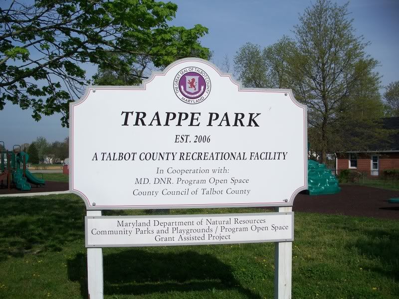
From Easton I drove to Trappe, Maryland for another MML cache.
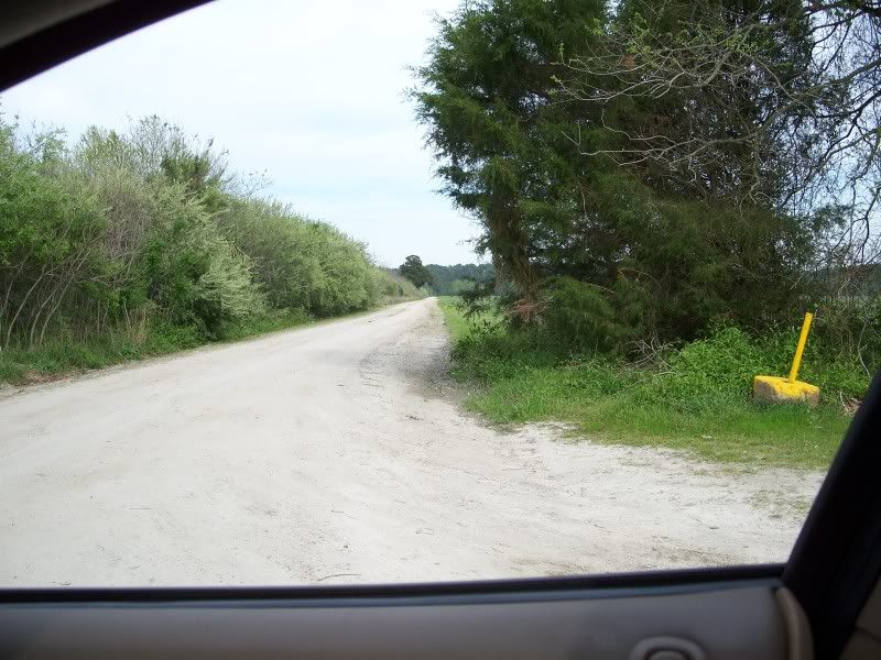
Trappe is rural, huh?
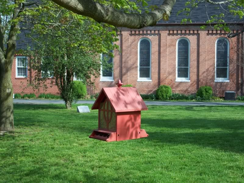
Guess what is in this bird feeder! If you guessed bird seed--well, you're partially right, because some was used to camouflage the cache container. I thought this was the cache, but I couldn't figure out how to get it open at first.
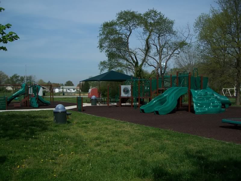
I think this was the newest playground I've ever seen. And the stuff they have covering the ground was like a giant foam pad. Kids are going to have to work pretty hard to get themselves hurt here!
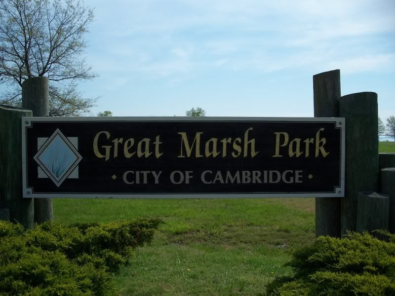
I killed about an hour in the Trappe park looking for a cache that wasn't there. Oh, I should not have done that. But I thought I had plenty of time! Next up was Great Marsh Park in Cambridge for another MML cache.
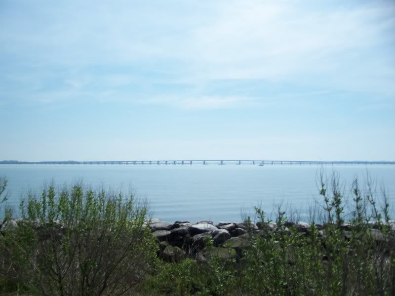
Just a picture of the bridge I came over on.
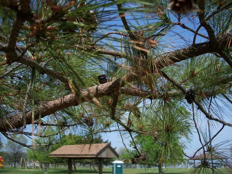
After I found the MML cache, I decided to try for one more in the park. This is a picture of it in the tree (it's on the tree branch).
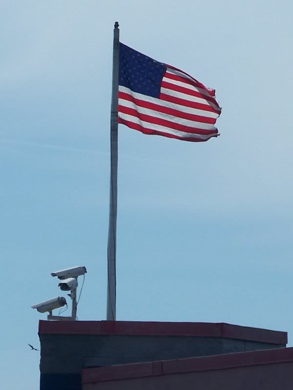
A picture of a very secure flag. Government installation? No. Wal-Mart. I was just, umm, stopping by the Wal-Mart out of necessity. No caches in there!
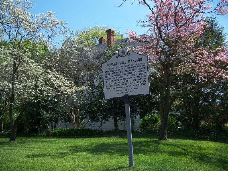
I headed to Salisbury to pick up the final MML cache I needed to get the geocoin for the MML series! Whew! It was located at Poplar Hill Mansion.
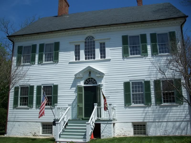
This is Poplar Hill Mansion. They actually asked people in the description for the geocache not to try to locate this one at night because there is an attendant who lives there and they did not want to scare her with people coming in at odd hours to find the cache! Fortunately, I was here before lunchtime! Even more fortunately, I had the entire place to myself! And once I found it, I went and claimed my geocoin! Hooray! I was done with the MML cache series! That is, I had found enough of them to earn the geocoin. There are still some more sprinkled throughout the state, but I have all the time in the world to get to the rest of them now that I have the coin.
I was trying to be artsy with this picture. It really didn't work. But you get to see it anyway! There was supposed to be a cache here, but I never found it. But remember when I said I had to finish up all those CAM 2009 caches? And do you remember how I have not said I have found any of them today yet?
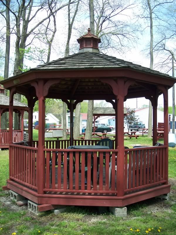
And remember how I said I had all the time in the world to find the rest of the MML caches? Well, no time like the present. This gazebo is in Delmar, Maryland, and if you have photo editing software and can boost the gamma of this picture, you will just be able to make out the cache container under the gazebo.
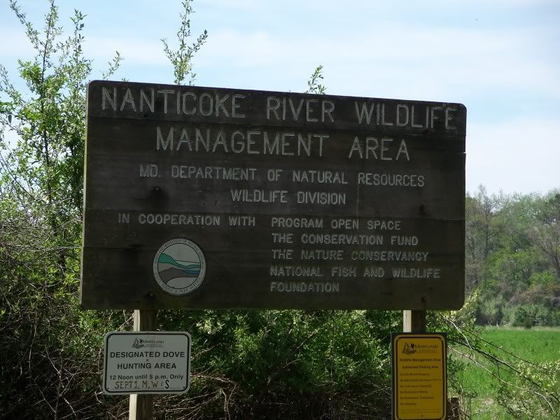
OK. No more goofing around. Time to head after some CAM caches. First stop was the Nanticoke River Wildlife Management Area. You're going to see what the difference is between the MML caches and CAM.
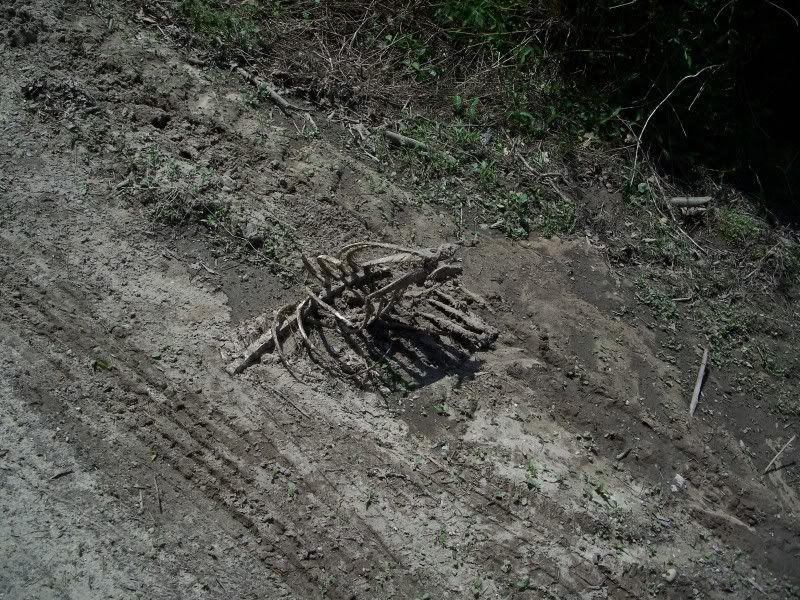
For example, you might not recall any pictures of rib cages caked with gray mud in the MML cache pictures. That's because there weren't any. Oh, and this rib cage laying out on the edge of the road . . . that's just on the way in!
The rib cage was long gone when I finally arrived at the parking area.
And the geocache was almost a two mile walk the other way. I probably could have driven my car in another quarter mile, but I did not do that. After that, my car would not have been able to go any further. A jeep might have been able to get a little further in.
So into the management area I went. I walked and walked and walked some more, until I came to this spot, guided by my GPS. Guess what's here.
That's right. A geocache! Remember, I started before dark, and I have now just found my first CAM cache--at around 3:30 in the afternoon!
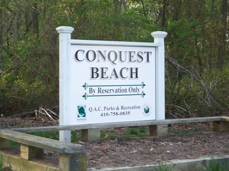
From Nanticoke, I drove to Conquest Beach. I expected a beach. Silly me. What I got was swampy, mucky, tick-ridden mess.
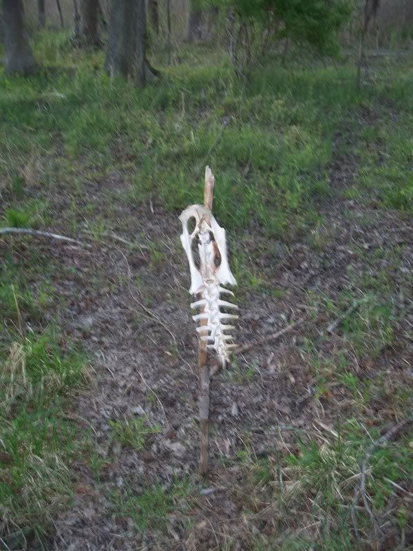
It didn't help my mood any to come across silly things like this, which appears to be a deer pelvis on a stick stuck into the ground.
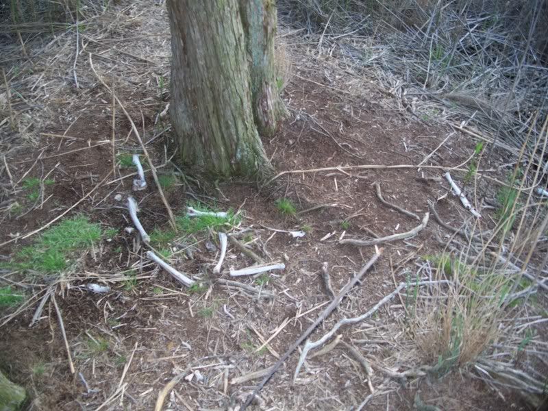
There were more bones scattered around the base of this tree.
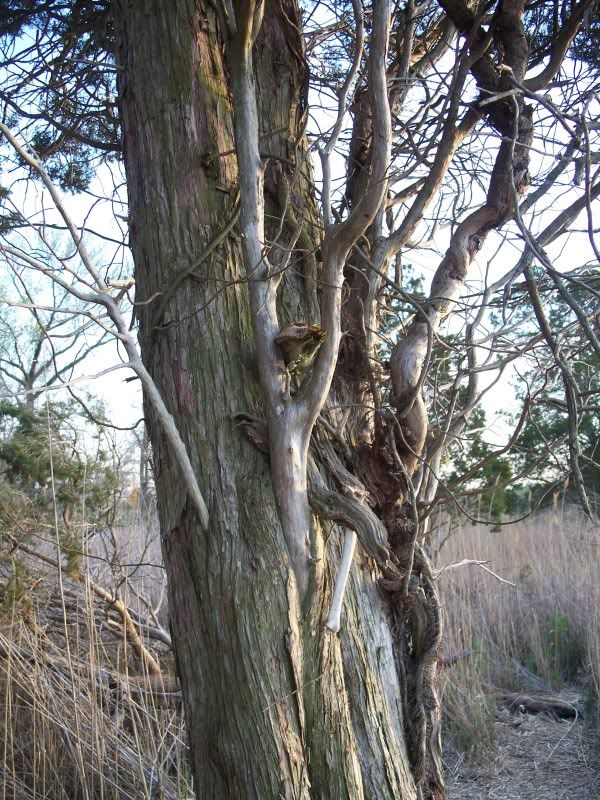
What's in the tree? Oh, a deer skull and a couple other bones. They're actually very hard to see in this picture. But trust me, they were there!
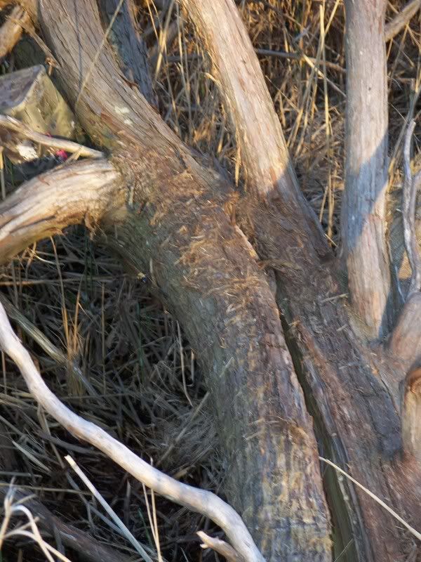
I had to cross this log to get to the cache. Standing between me and the cache was one very unhappy bumble bee. You can just barely make him out in this picture to the left of the tree.
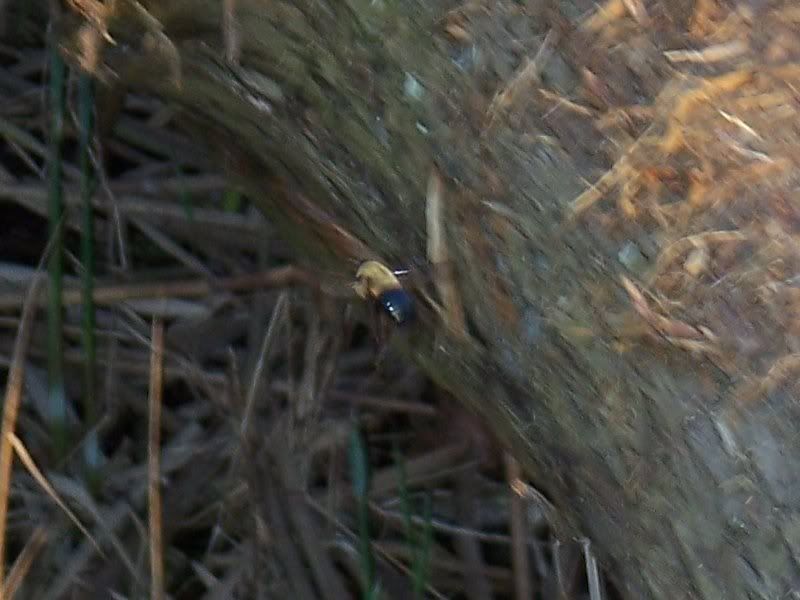
Here is a close-up of the bee. I had no choice but to walk out on the log because there was deep muck underneath it. And I was not going to be forced to come all the way back to this spot for the sake of one bumble bee. There was some mighty angry buzzing and flying going on, but I managed to get the letter code from the cache and sign the log. Because the cache was also tied to the tree, I had no choice but to stand there and get everything I needed and sign the log while the bumble bee was buzzing around my head.
I managed to wade through the muck and the ticks to get back to my car just before the rains came. That was a lucky break! I also managed to pick 27 ticks off of me at this site. What a horrible record! And then when I got home hours later, I found number 28! This cache was pretty much a horrible experience.
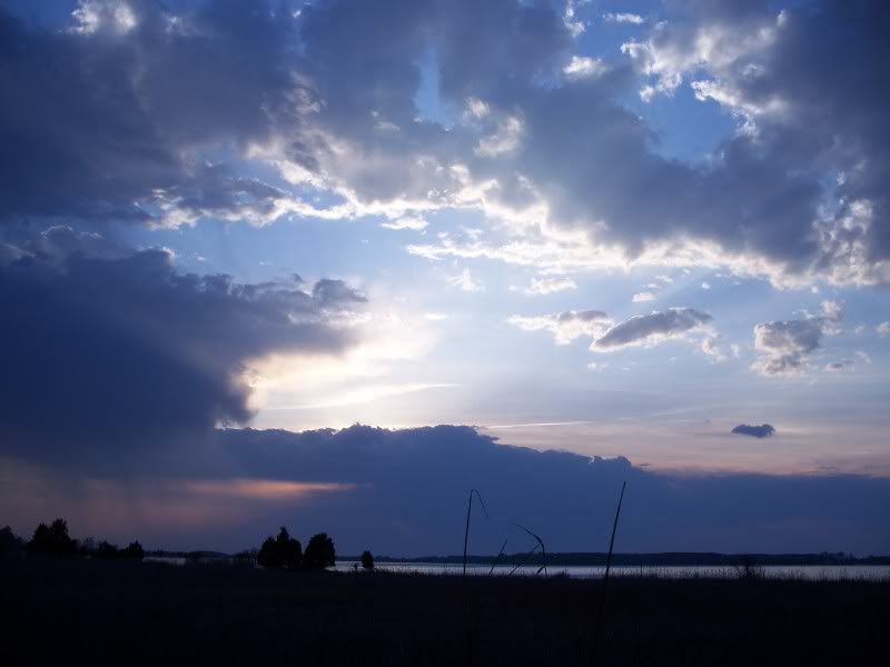
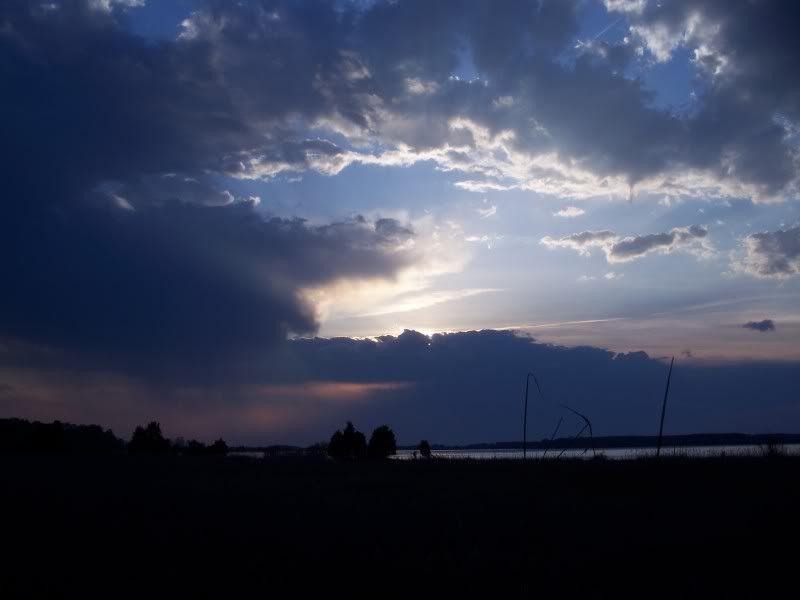
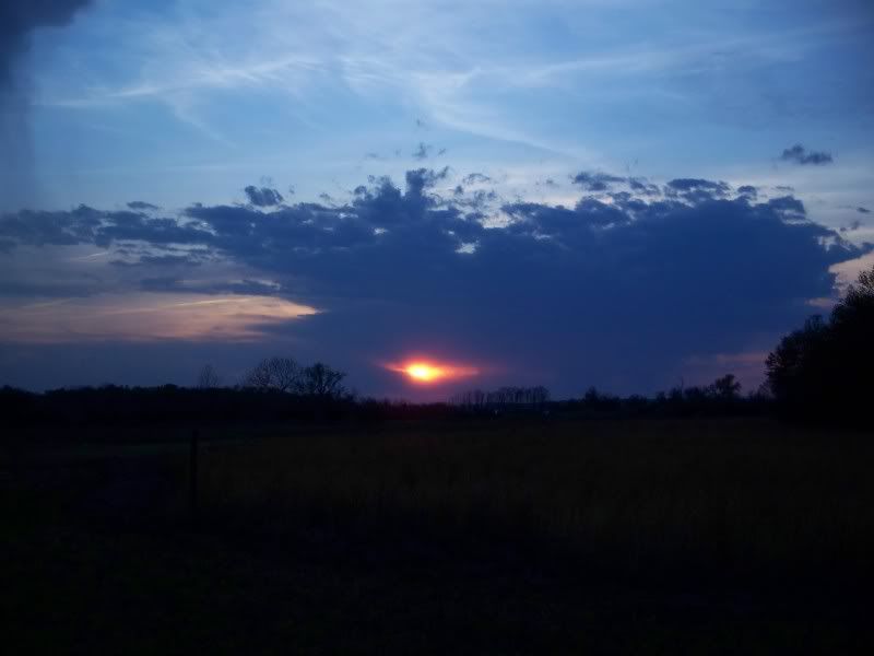
I did get a couple of nice pictures of the sunset, though. I couldn't decide which was better. So I've shown both. Remember what nice sunsets mean--I am running out of daylight! In this case, I had only found two of the roughly 9 caches I had remaining when I started, and I was running out of daylight!
This kind of looked like an eye in the sky, so I took a picture of it.
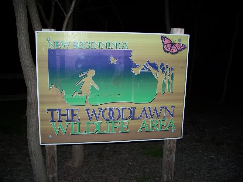
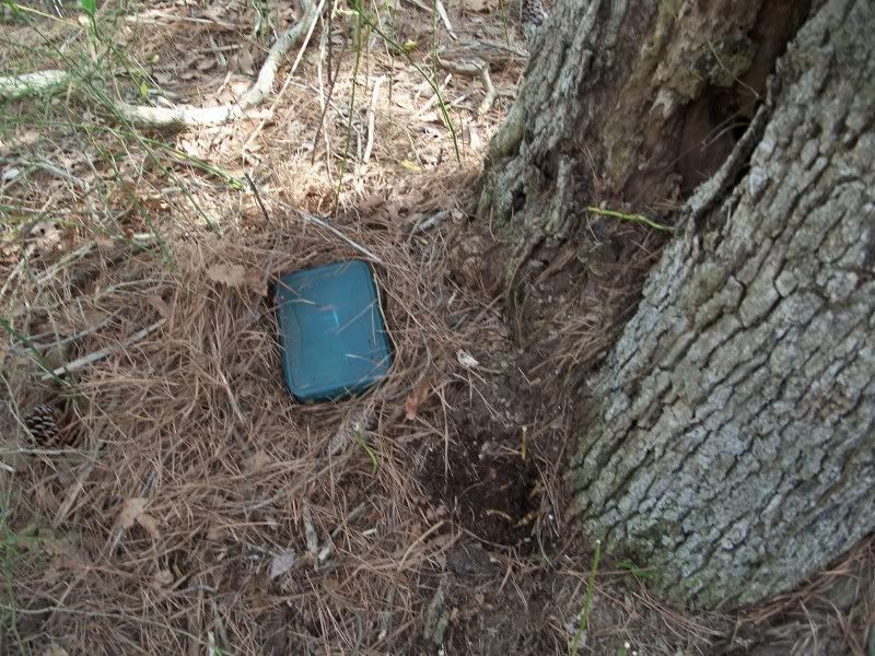
To wit . . . notice the absence of light behind this sign. Technically, it was 10:00 p.m. and this park was only open until sunset. But technically, I did not see any signs there that said that. Later, I was informed in a geocaching forum by the property manager that there was indeed a sign there that said that. I guess there was, but I didn't see it. So in I went. Because this park is near some houses, I decided to try to hurry. That accomplished absolutely nothing, because as I was getting ready to leave the park, I realized that I had lost something in the park.
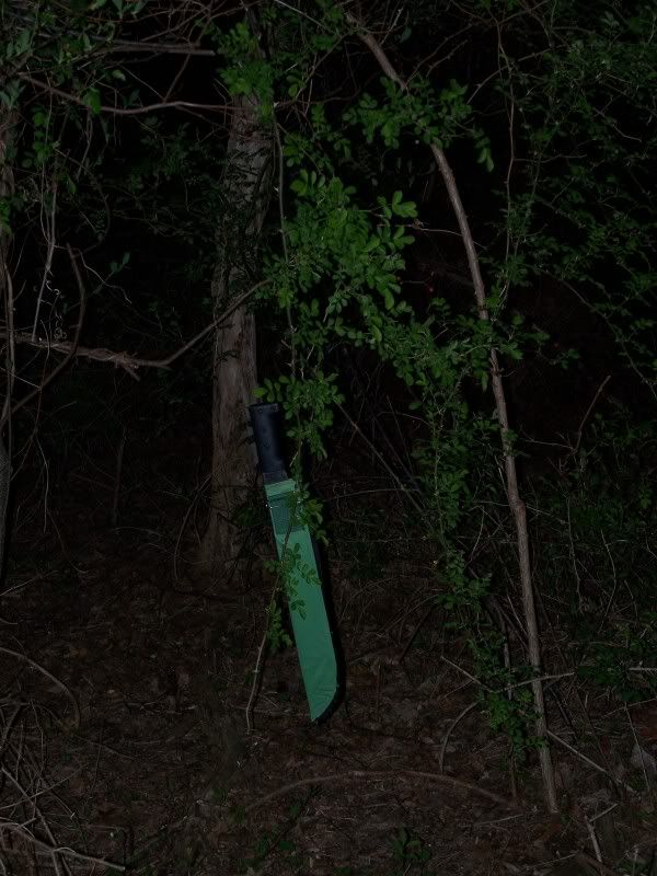
Here's the something, exactly as I found it as I retraced my steps back through the park. A vine had pulled it out of my backpack and I was crawling under it on my way to the cache. Unfortunately, this had happened about one quarter of the way into the search for the cache, so I had to retrace about three-quarters of my effort. Walking through a park, following an electronic breadcrumb on my GPS, trying to find something that had fallen out of my backpack. I didn't give myself good odds of recovering the machete. I was starting to have a bad feeling about ever finding it since I was getting closer and closer to the point where I started. But like I said, about three quarters of the way back, I found it here, hanging up in mid-air! Unreal!
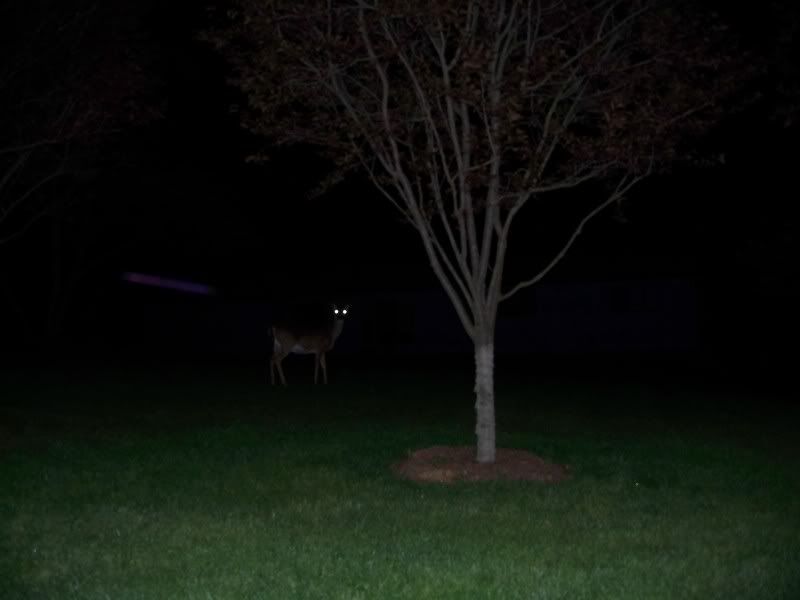
I left the Woodlawn Wildlife Area at around 11:00 p.m. I traveled then to Oregon Ridge. I got there around midnight. No pictures really turned out from there, so here is a picture of a deer with glowing eyes standing along a road looking at me! Oregon Ridge was dark, wet, slippery, and treacherous, but thankfully, it was not that long of a hike in and I was able to get the cache relatively quickly compared to other sites.
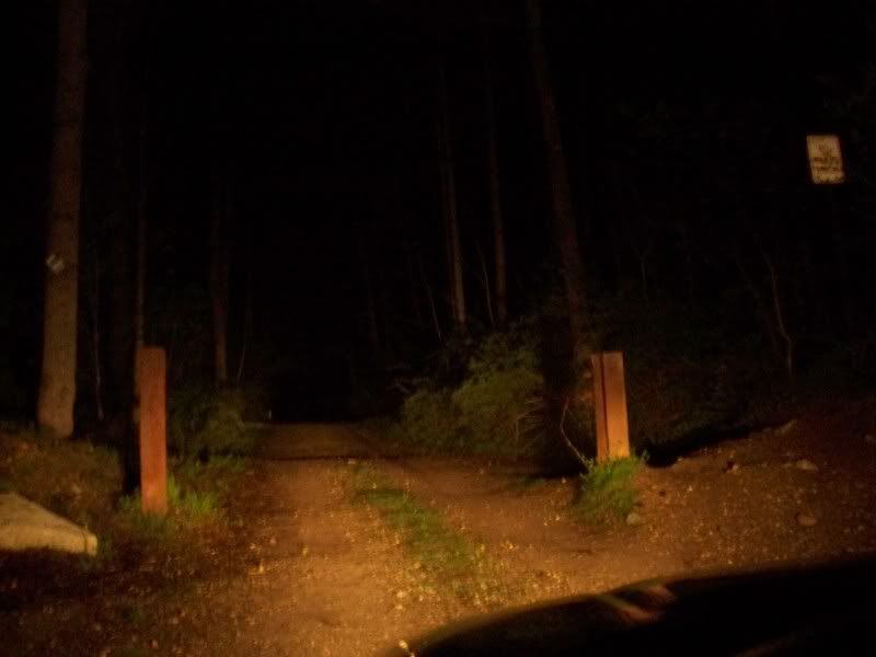
Last up was Gillis Falls. I took this picture at around 2:00 a.m. It was getting late! But there was still one more cache I had to find that night, and it was here!
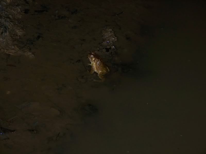
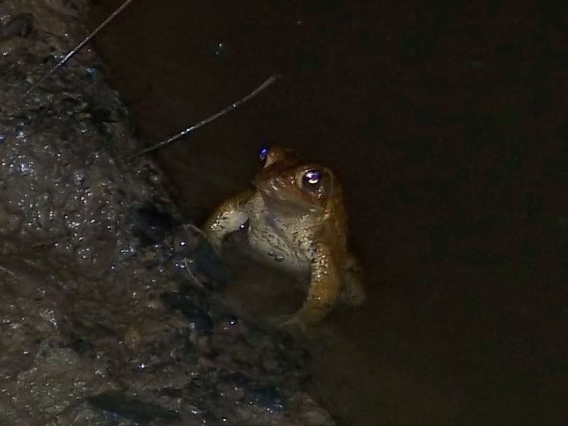
I found the cache, and on the way out, decided to go take a picture of some of the frogs I heard.
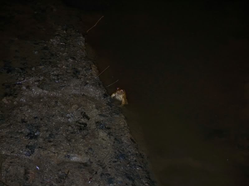
There were a lot of them here. Or at least it seemed like a lot. It's a lot more frogs congregating than I had ever seen!
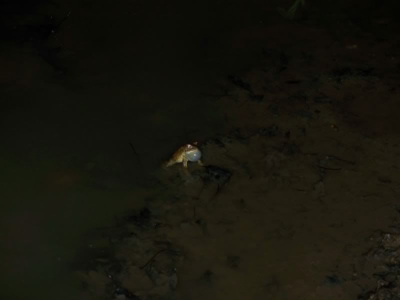
I suppose I was in a frog nightclub!
Well, the frogs may have felt like continuing to party hard at 2:00 a.m., but I was pretty exhausted! Just about everything in this blog happened in one, approximately 21 hour day, give or take. It was a long day! But I had all but two of the caches and those were both in the western part of the state. I figured it would be no problem to do those two in one afternoon . . . but I was wrong. This is the end of Part II!
Sunday, June 28, 2009
Category: Life
No comments:
Post a Comment