Tuesday, April 29, 2008

Firefighter I

Firefighter I Card
Did I mention that between these weekends of racing around the state to finish CAM 2008, I also took and passed my final written and practical exams for the FireFighter I class I have been in for months now?

Tuesday, April 29, 2008 

Category: Life

Sunday, April 27, 2008

Another MCI (This Time, Mass Cache Identification)


Having zero luck with Eden Mill the previous weekend, and only 2 out of 10 caches for CAM found, and with the CAM picnic next weekend, I had to do something drastic. So drastic I had fun all week thinking about how hard it was going to be and just how silly it was to do. Were all these people in the same boat?

Most likely not.

I did wonder how many of them were hiking the Appalachian Trail for fun--and how many were hiking with a purpose, like me! And note that the Intrepid is doing all of the difficult geocaching driving.


This is a picture of the pedestrian bridge that connects the trail across Interstate 70. I drive under this bridge every day when I go to work. I've lived in this area and known about this bridge forever. I never set foot on it until this day while I was out hunting caches for CAM. Not that I had to, mind you. The part of the trail that is to the right in this picture, I've hiked many times, only I go up a different way. The part to the left I had never been on until I went hunting for the cache.


The cache was here.


So were these other geocachers. Maybe they have a blog and I am in it? They will probably write about how we all set off after replacing the cache and I set us off in the wrong direction. Oops. Fortunately they didn't listen to me for very long before checking their own GPS devices and turning us around. They were on their way west to find their last two caches, which funny enough, were the only two I had done. At 8 out of 10, they were in much better shape than I at 2 out of 10. Maybe they make less wrong turns.


Here is an artsy photo of the bridge, for people who like artsy photos of this kind. I think a picture much like this one won a prize in the photo contest for CAM. It was funny to see that several of the areas I took pictures also inspired other people to take pictures. Nobody tried a night photo like me, though! Of course, there were several reasons for that, involving things like more preparation, better scheduling, and common sense, but I digress.


I took this picture on the bridge. I also see these signs every day coming home from work. So I had one more cache down. I decided I would eat lunch before setting off to find my next cache. I didn't take any pictures of lunch, sorry.


This is Pavilion O at Centennial Park. On one side, there is a path that leads down to a paved foot and bike trail that runs around the park. On the other side, there is a wooded area filled with scrub brush. Guess which way I should have went. And guess which way I did go. And then guess if they are the same. A hint: no.


No, instead I worked myself through stuff like this.


Or this. I'm basically taking pictures around where I was looking for the cache here.


More of the same. This looks pretty remote, huh?


So remote somebody is starting a fire? Hmm. Or hiding a cache maybe.


While the other places I was taking pictures in, where it looked remote, it really was remote, that's not the case here. About 30 feet beyond those trees was this nice path.


And a nice lake. Centennial Park is a really nice park. The cache find here I made harder than it needed to be, but only by a little. So next it was off to the Sassafrass Overlook.


I took this picture getting onto the Chesapeake Bay Bridge. The skies were a little overcast at this point.


Once again, the sign is a little dark because I am arriving with about an hour of daylight left.


Keep in mind, this long dirt road is only the road to get in where I have to get out of my car and walk another .8 mile to the spot where I am supposed to start looking for the cache.


It was kind of odd to find a new, computer-generated sign out in the middle of all this after driving along that dirt road, but here it is.


By the time I reached the cache and found it, this is what I could see--with the camera's flash. Without the flash, I took a picture, but it was nothing but totally black pixels everywhere in the picture. So if you want to see what I could see without the flash, just turn your monitor off and stare at it.


Actually, it's not that dark, but it is pretty dark. This is what I was hunting. Another letter to help me decode the location of the picnic. I actually spent a couple hours here and was starting to have nagging thoughts about what I was going to do if I had to abandon this search. Fortunately, on about my fourth or fifth time looking in the same spot, I finally caught a glimpse of the container.


After that, it was off to Turkey Point, where this lighthouse is. If you look closely, you might be able to tell that the light is lit in the lighthouse, which is really kind of freaky to see flashing in the trees when you're hiking through the woods at midnight.


As you can see, this is not a difficult hike.


Well, OK, the fact that the park is closed after sunset and it is midnight makes it a little less easy.


Just another sign, in case you missed the other one.


And well, OK, maybe the cliffs make it not such a good idea to hike at night. But other than that, it's easy. Well, there was a steady, cold wind and some rain, too.


I made it back to my car just after midnight. I had pressed my luck long enough, so I got out of the parking lot. I drove up next to the ranger station and plotted my next course. While I did that there was a pretty hard rain. Fortunately, it didn't keep up on my long drive back to Eden Mill.


I arrived at Eden Mill at about 2:00 a.m. It was cold. It was raining. And armed with some slightly revised coordinates, I knew exactly where I was going to find the cache. It was a spot I had just started to search earlier but then decided to abandon because it was just too far off. I knew it was there. Mostly because I looked every place else. Once I realized that difficult search spot was in bounds, I pursued a difficult climb up to it and found the cache, shown here. After that, it was home to bed, where I deposited myself at about 5:30 a.m.


Of course, I had the joy of knowing when I went to bed that the next day I would be up to drive a little over two and a half hours just to get to a cache site, in this case, Myrtle Point. As an added exhaustion bonus, Dimmu Borgir and Behemoth were playing in D.C. later that night. As you can see by this photo, I left my house in time to get to this park with daylight left.


Here is another beach. It's a little washed out, but it probably would accomodate people better, were there any people so inclined, which I doubt.


I wound up missing the opening act because this cache was trickier than most. Once I found it, I wasn't even sure how to get to it. But I did eventually. The cache is in through here somewhere. See how easy that is? At least I got to see nearly all of Behemoth's set and all of Dimmu Borgir's. I would scan the stub but all I got was like a movie ticket when I bought my ticket at the door.

And so, with that, in a space of just over 24 hours, I managed to find six additional CAM sites, making my total for the weekend 8 out of 10 caches found. Two more caches left with a free Friday night and a free Saturday afternoon, before the Sunday CAM 2008 picnic--a much more reasonable spot to be in. The next cache to attempt would be Sugarlaof Mountain, but that waits for another blog entry.


Sunday, April 27, 2008 

Category: Life

Saturday, April 19, 2008

MCI Drill & Eden Mill (The First Time)


On this day, I participated at a mass casualty drill at the Hagerstown Regional Airport. The scenario was basically that an airplane and the airport were shot up by a bunch of bad guys. Here are some emergency vehicles waiting for the all-clear to be given.


This is one of the vehicles the Washington County Special Response Team brought in to subdue the bad guys.


This is 753, patiently waiting behind our ambulance for the all-clear. We got the all-clear and then half way to the airport, they told us the scene was no longer secure, and so we waited again.


Once the scene was safe, the officers started setting up a triage area and assigning officers to command staff.


More fire engines. I don't know what happened on the fire side. I was here as a volunteer EMT.


This is what happened on the medical side. Anyone who could walk got to walk to the green tarp. The red tarp is being set up. You don't want to be on the red tarp. Of course, that might beat being on no tarp, but probably not by much.


That's how I spent the morning. With just two weeks to go until the CAM 2008 picnic, I had found only 2 out of the 10 caches needed to attend the picnic. I decided to go to Eden Mill after the MCI drill. You might notice that is seems a little dark here.


That's because Eden Mill is a little over two hours from my house and I didn't get there until about an hour before sunset. After the sun set, it was just me and the critters. This little toad is about an inch and a half long. I couldn't get my camera to take a picture that wasn't completely washed out like this.


Geocaching is probably a bad idea if you are a fly.


Yup. Bad idea. As long as I can see the spiders crawling away from me, me, it doesn't bother so much.


It was plenty dark by the time I left, which is why all these pictures are taken with a flash. This stick is stuck in the muck, of which there was considerable quantity beside the trail. I realized a little later on that it was stuck there by someone who had a lot better idea of how to search for the cache than me. Ultimately, I stuck about four sticks in the ground to map out how the satellites were tracking the coordinates. While that was interesting, it wasn't getting me any closer to the cache because the coordinates were a little off, relatively speaking.


The only thing worse than driving two hours to find a cache is driving two hours to spend mutiple hours to find no cache, which is exactly what I found at Eden Mill. This might have been a good spot. But it wasn't it.


At around 11:00 p.m., I heard an extended horn blast from the general area of my car. I really didn't intend to be out this late. I was getting cold, and after hiking back to my car earlier to my flashlight, and then hiking back to get some bug repellent, and then hiking back to find who knows what at my car, I didn't have a fourth trip back out into the dark in me. Eden Mill would have to wait for another day, which also turned out to be a night. The only thing I got for this trip was this picture, which is probably tied with my picture of Cascade Falls as my favorite of CAM.


Saturday, April 19, 2008 

Category: Life

Sunday, April 13, 2008

Western Maryland Geocaches Part II


I am falling further behind in documenting my CAM 2008 searches. Oops. So. This entry will be brief, because I didn't do too much on this day. Seriously, if their eyes looked like this normally, would that be freaky or what? I actually saw a few deers on my way in to find the cache.


This right here is a cache. It was the second CAM 2008 cache I found, and I found it at around 1:30 a.m. I only thought that was late. There would be later finds ahead. But I was happy to find this, because it was dark, it was cold, I was in the middle of a wooded area, and I still had about an hour long drive after I got back to my car.


This is the view on the drive up to find the cache. There's a better more natural view on the way to the cache back in the woods, but it was dark, so I couldn't take a picture of it.


The next day I was kind of worn out by the day before, so I decided to go hunt a benchmark instead. This dirt was underneath the chunk of concrete above it there.


And in and under that dirt was this benchmark monument. This was neat to find because I tried a couple weeks before and couldn't, and then I was able to because I paid less attention to the GPS and more attention to the write up about the benchmark. I stepped off the measurements and there it was.


And this is one final, close-up look at benchmark K12-1935. That was it. Not much for this day because I was pretty tired. But that was bad in a way, because time was ticking away on CAM 2008 and I still had a lot to do! More on that coming up soon.


Sunday, April 13, 2008 

Category: Life

Saturday, April 12, 2008

Western Maryland Caches, Part I


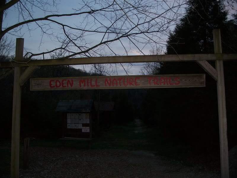
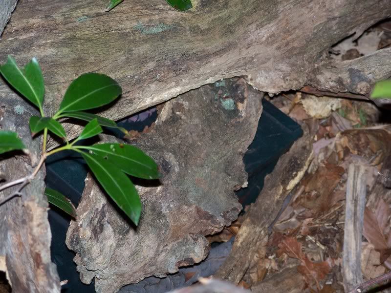
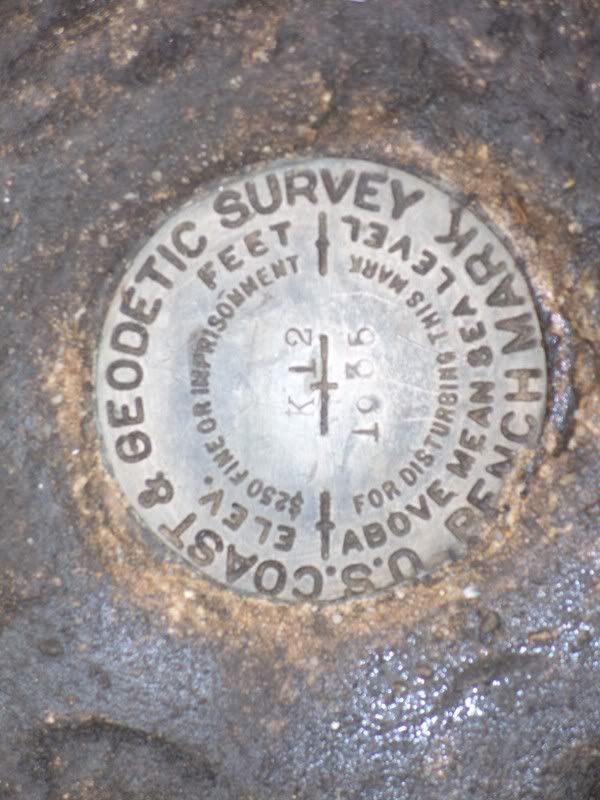
There is a cache in here somewhere. I still don't know where. I know where it should be. I've looked there already. But other people have said they missed it. So I don't know. If it's there, I'll find it. Someday.


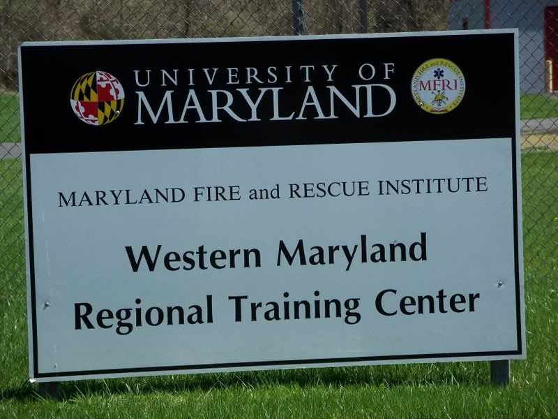
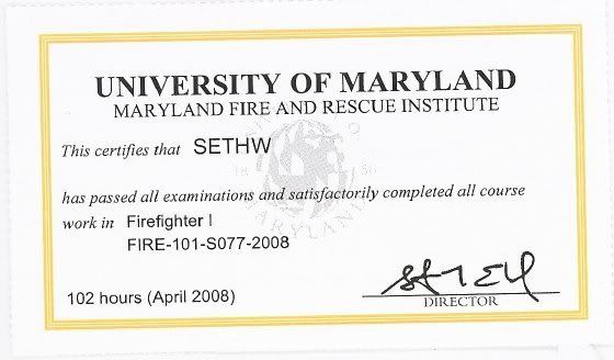
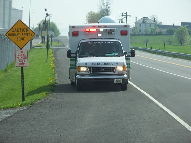
I did not have much time to look for it because I have been finishing up my class. Instead of geocaching on Saturday, I was here at the training center.


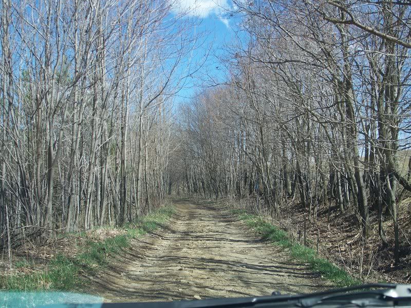
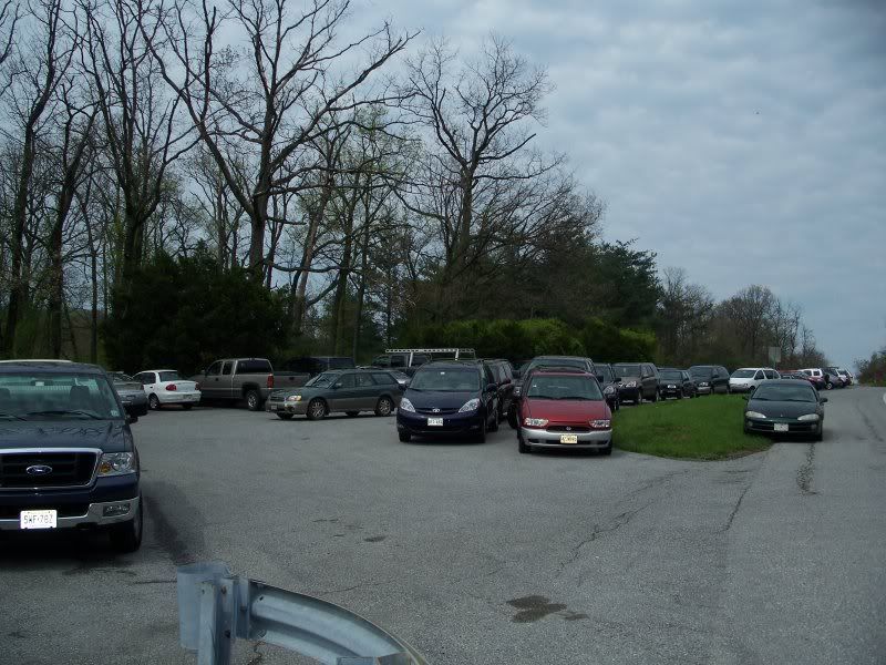
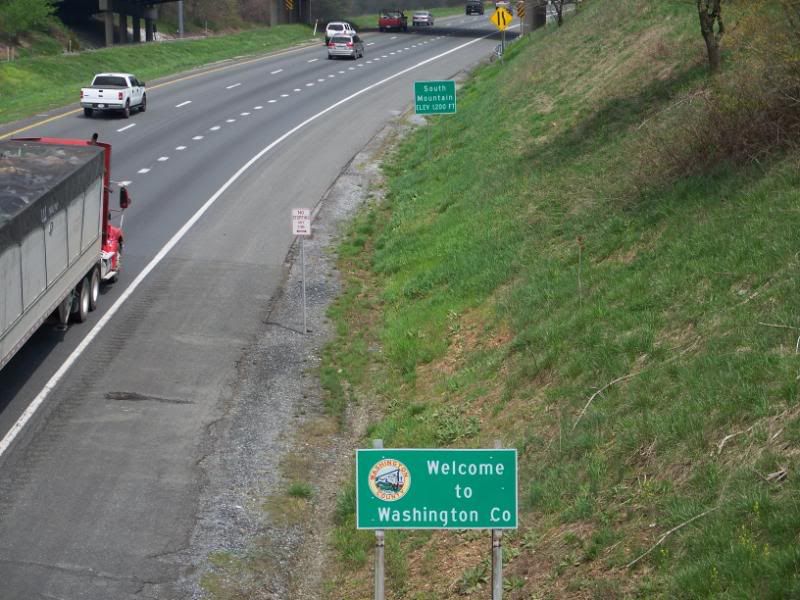
The training center is in Cressaptown, Maryland. That's pretty far west. But there were caches further west than that which are part of 
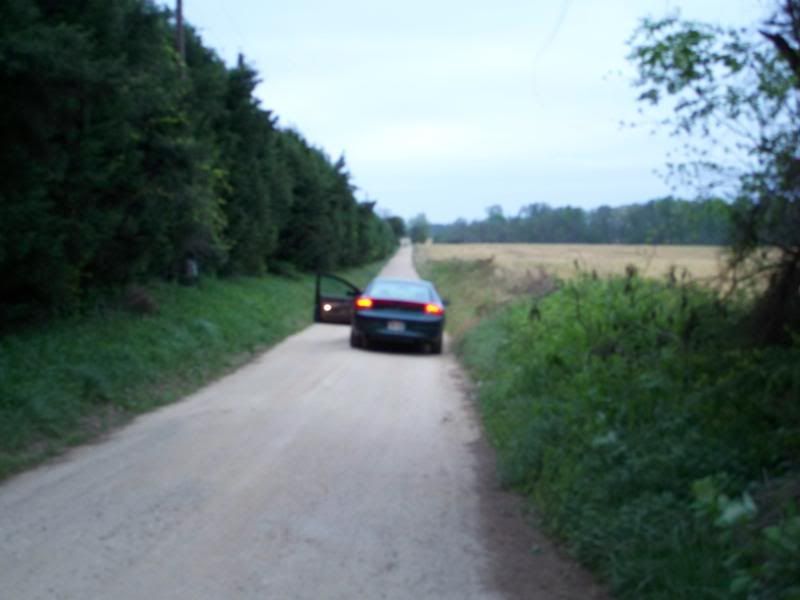
Cache Across Maryland. This is a named road that I am on here, by the way.


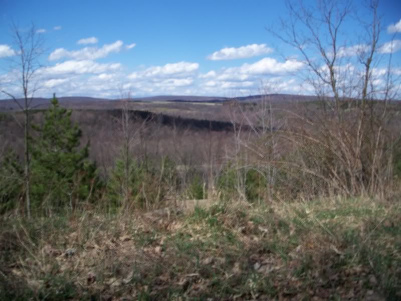
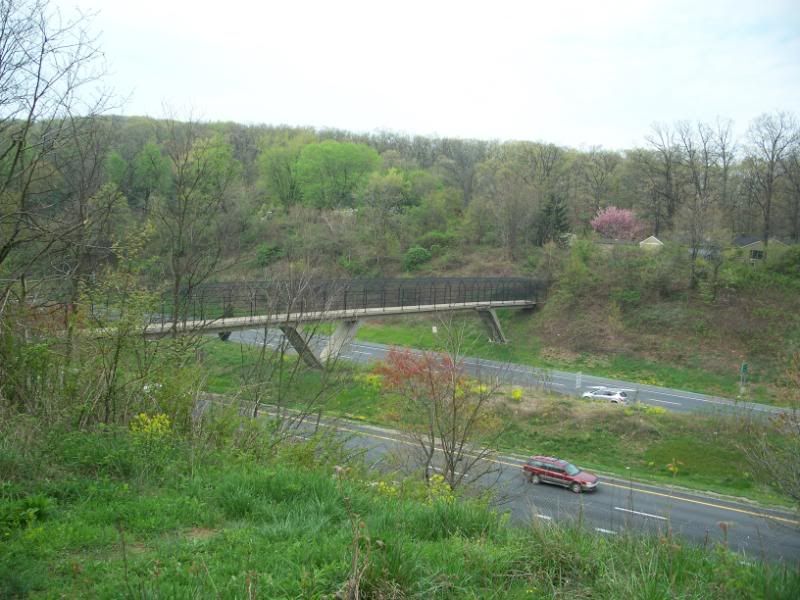
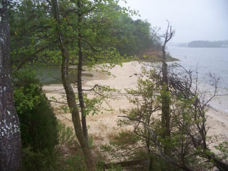
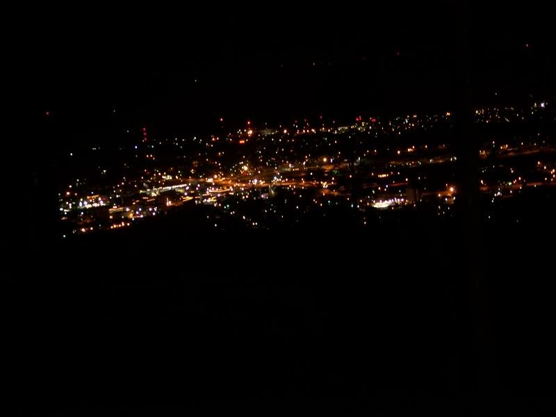
And this is the view (less blurry in real life) from the road. The peaks in the distance? Yeah, that's where the road was that I was supposed to be on.


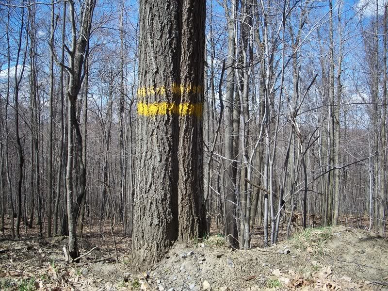
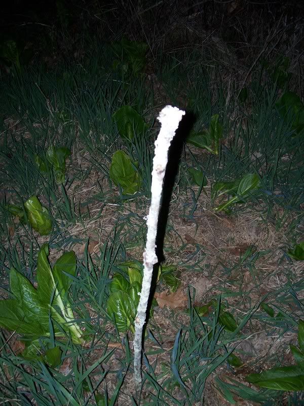
While I was on the road, I drove past many of these trees marked like this. I'm not sure why. I am sure it has some meaning.


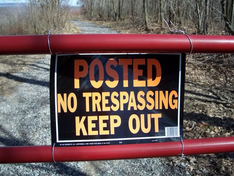
This was a clear indication that I was not where I was supposed to be in my geocache hunt. I thought briefly about going back out and seeing if I missed a turn somewhere, but I just decided to get out of my car and walk past the sign to find the cache. That was an error.


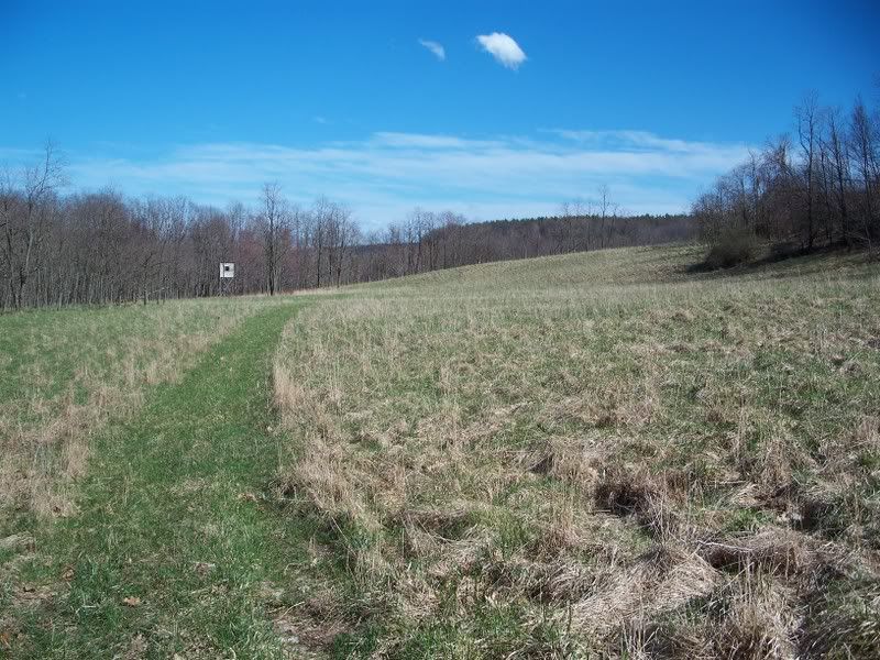
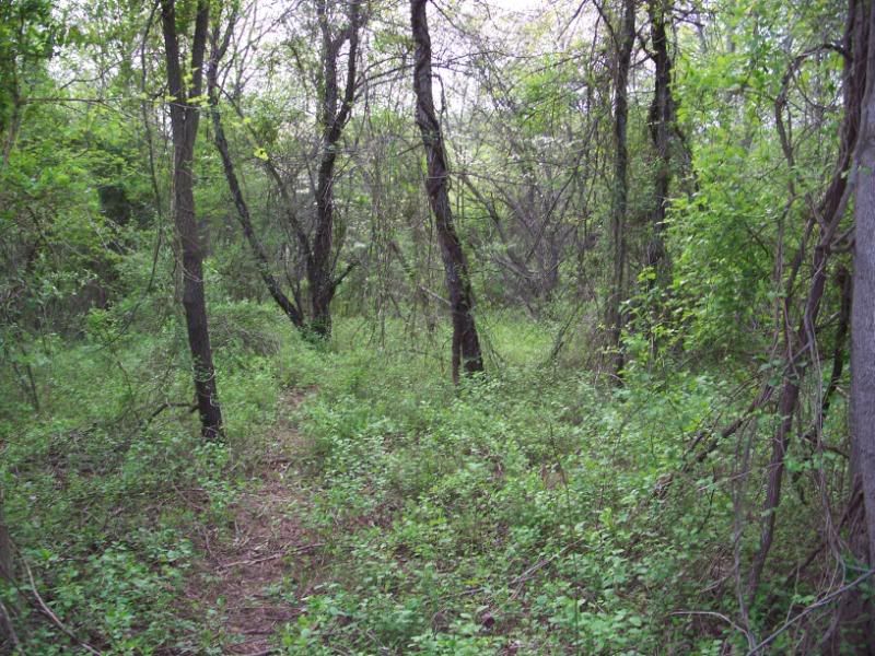
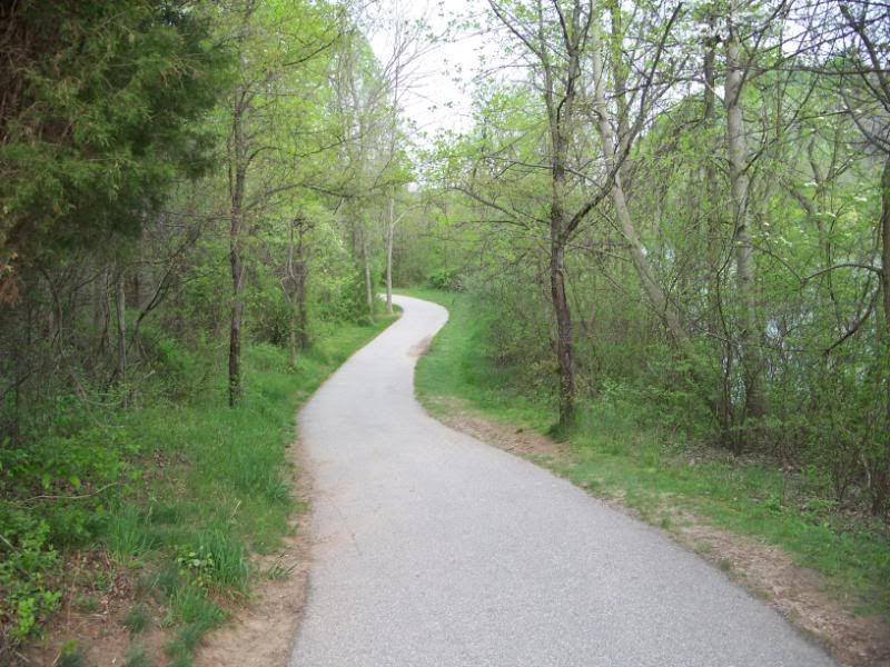
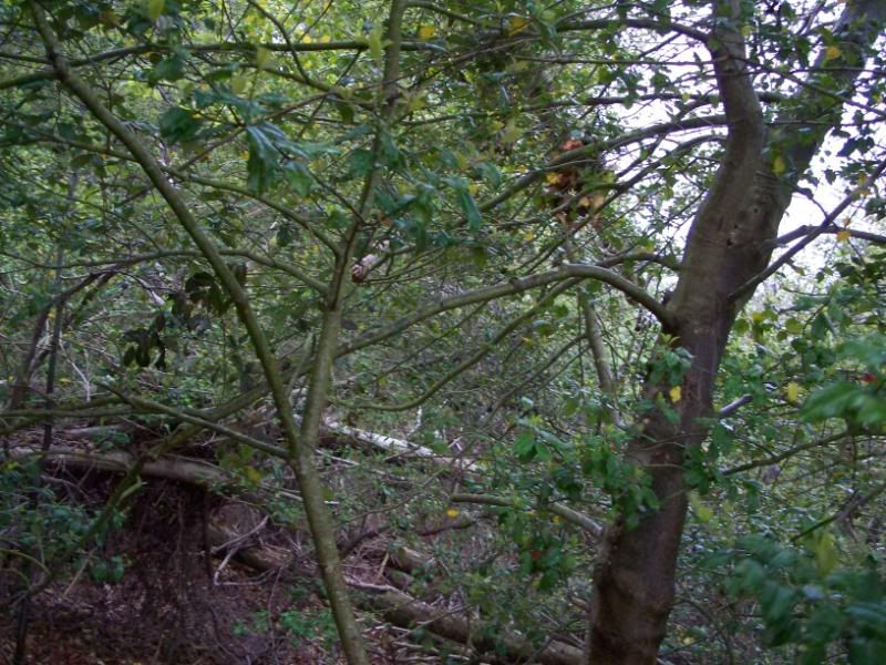
So I left my car behind--really far behind, eventually--and walked down a path for a while, and came to this clearing. That was the last easy walk I had for about two hours after that.


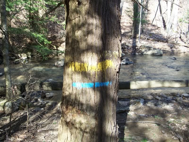
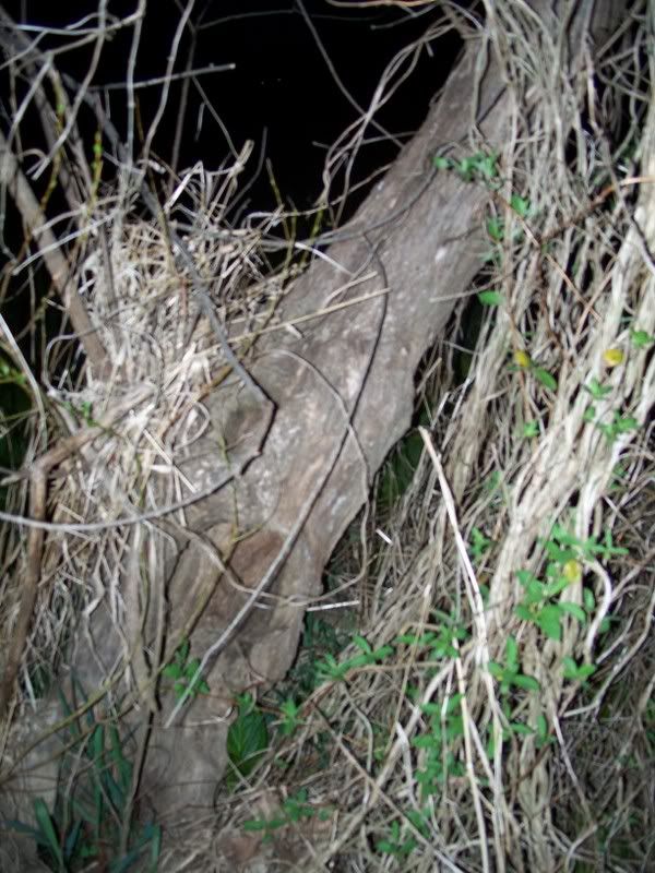
After about a half hour of wandering off into the woods and making my way down to the river (hey, I pay attention to Man vs. Wild and Survivorman), I came across this tree with blue and yellow stripes. I figured that meant there was some sort of trail here, although I didn't know what type or where it lead. So I just walked along the river.


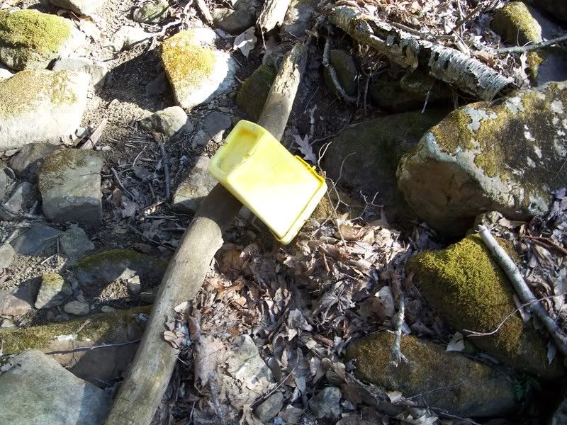
I had been walking around 45 minutes when I spied this bucket. It could have been a cache, but really, it was just a bucket. Apparently it was swept away by some swift moving water and deposited on this fallen tree limb.


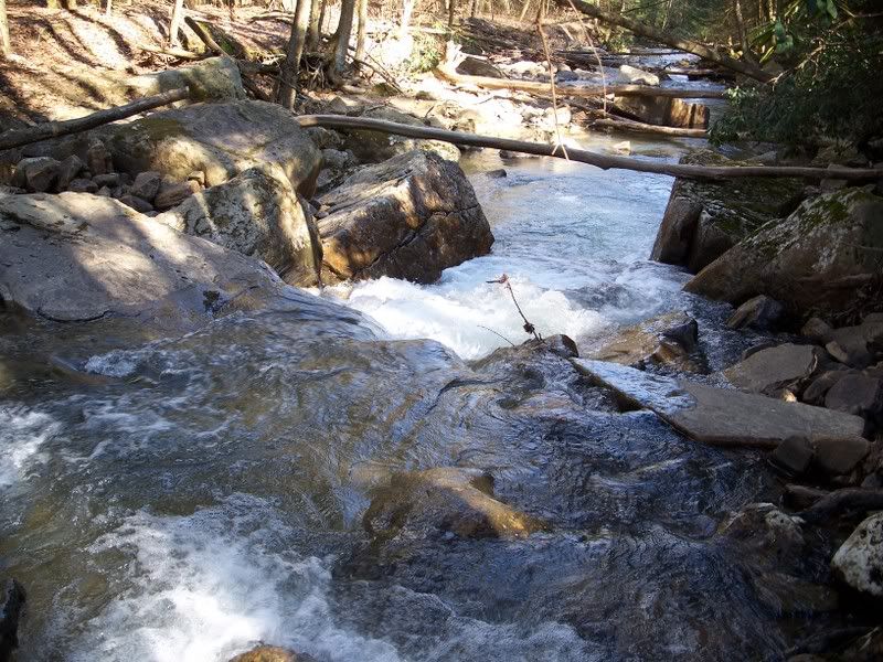
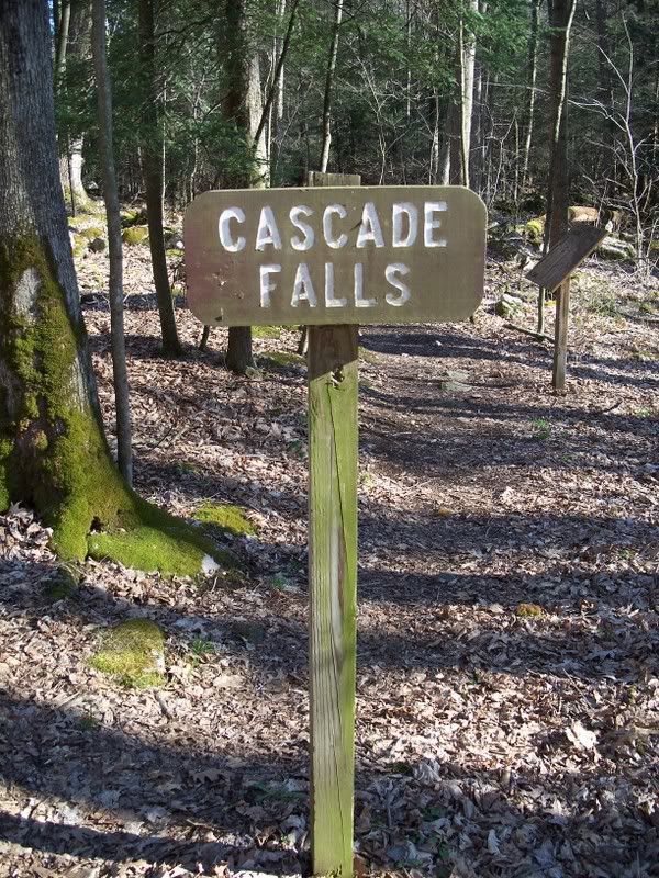
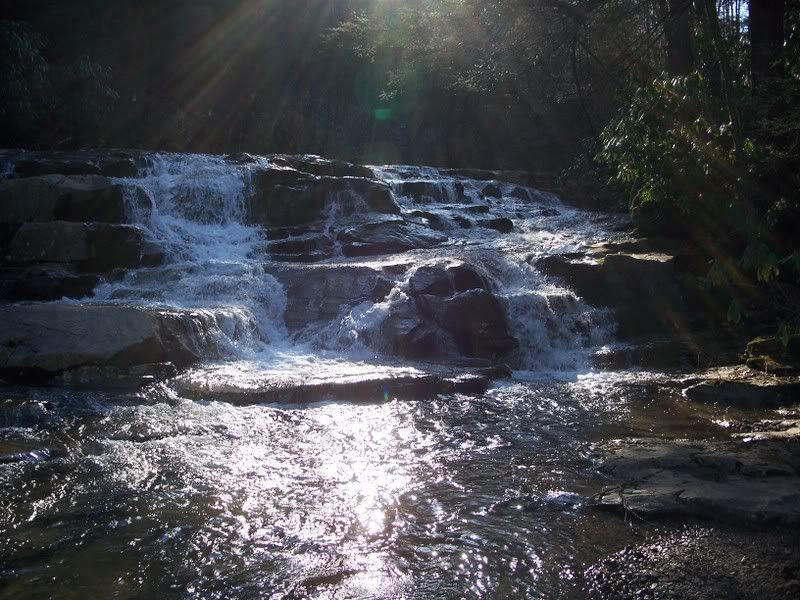
I should mention that I was looking for a cache near Cascade Falls. These are not the falls. Which is OK, since I was nowhere near the cache yet. Basically I had made my way down a mountain to a river in the middle of the woods and that was it. Still, the whitewater was nice to see.


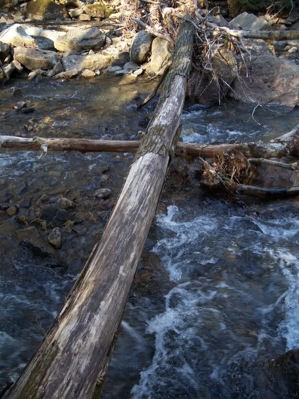
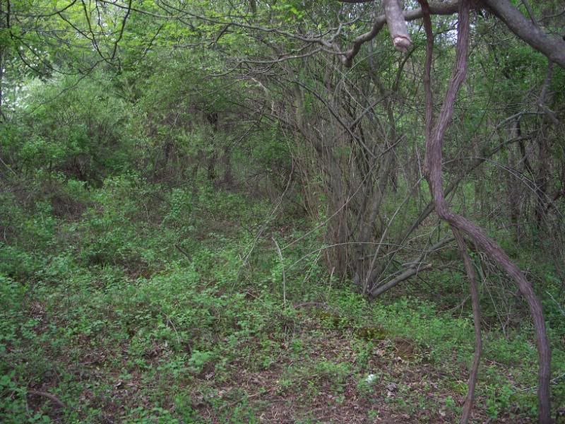
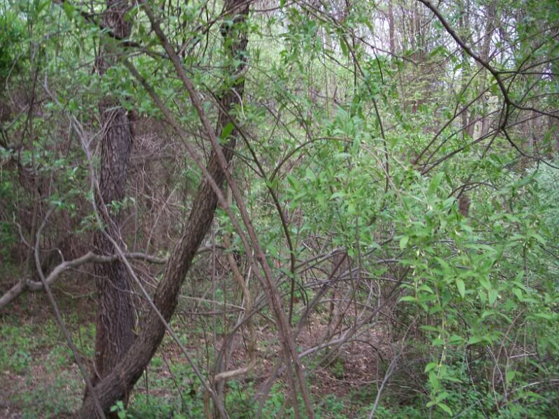
About an hour into my trek, and still a long walk to the cache, I was coming to the realization that I was on the wrong side of the river. That was bad for two reasons. One, there was no convenient way across the river, and I really didn't want to be wet and wandering around the middle of the woods. I really wasn't prepared for that. And two, it meant that the possibility that I would have to climb up the other side of the valley was a very good possibility. I was also at something of a crossroads, seeing as how if I continued on, I would really be pushing it in terms of getting back out of the woods before I ran out of daylight. So I could either turn around with certainty of making it back to my car while I still had sunlight, or go forward into uncertainty.


Of course I made the natural choice. Uncertainty. I crossed on the log, bear-hugging it (more or less) the whole way. I might have been able to walk on it, but the whole point was that I didn't want to get wet. And walking on this thing might have got me very wet when I fell off it and into the river, not to mention injured. In the middle of nowhere, you really don't have to worry about how silly you look. You do kind of have to worry about breaking your leg or your GPS receiver, especially since the sun, which you could use to help you get back to your car, is about to go night-night.


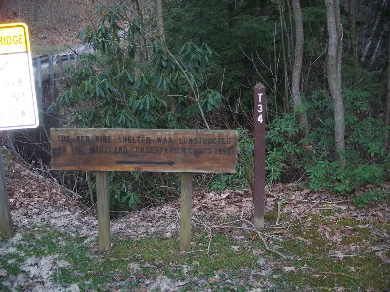
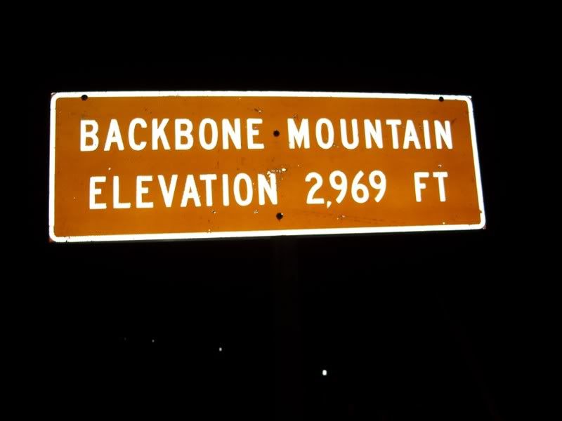
So about another half hour goes by, of me climbing up the other side of the mountain, and then I come to this post.


And next to this post? Another road. The road I should have been on. My GPS receiver is pointing down the road. So down the road I go. You think the road is safer than walking through the woods in the middle of nothing?


I almost stepped on this guy. He was in the middle of the road. That was not a good place for him to be at some point, because he was dead. I don't know what kind of snake this is, other than a dead snake. Nowhere near dead as long as the one whose skeleton appears in my previous blog entry, but long enough that rigor mortis had set in.


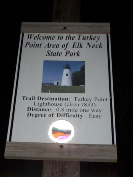
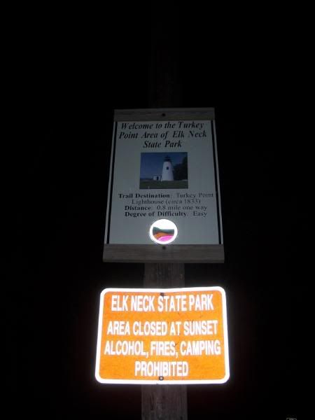
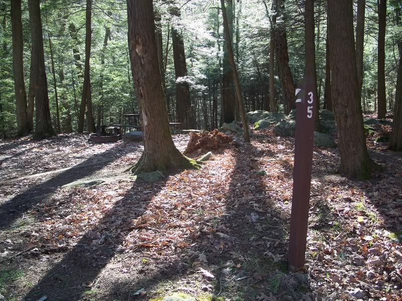
This was a good sign to finally see. I was finally very close to the cache.


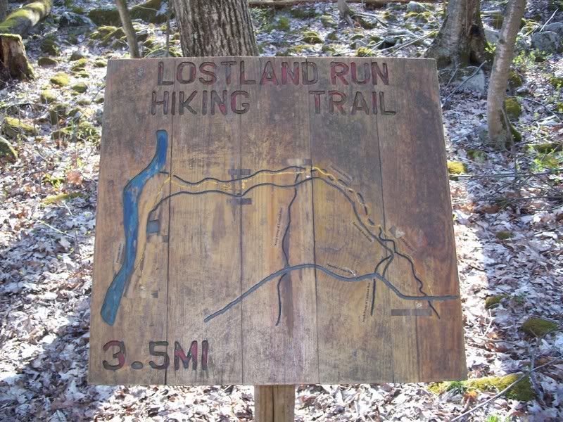
I assume this sign explains some part of the blue and yellow markings I saw on the trees.


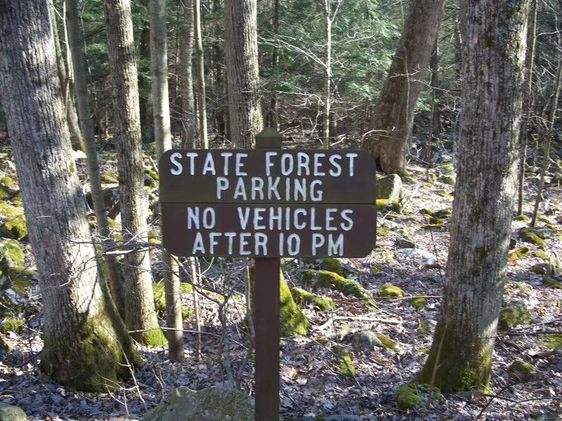
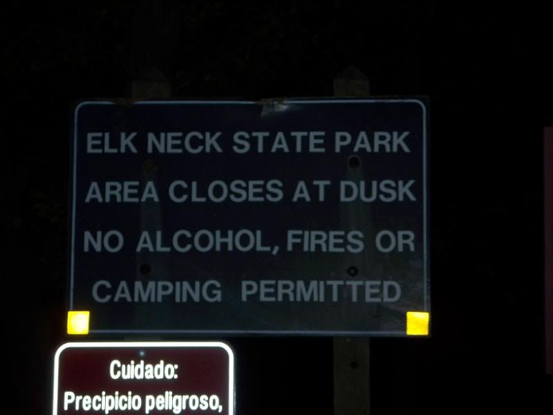
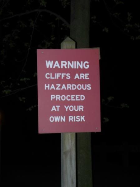
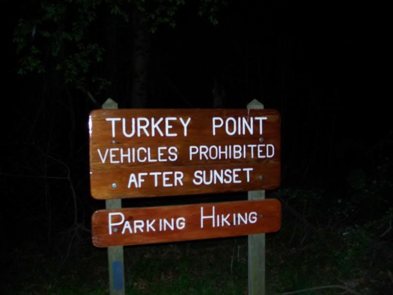
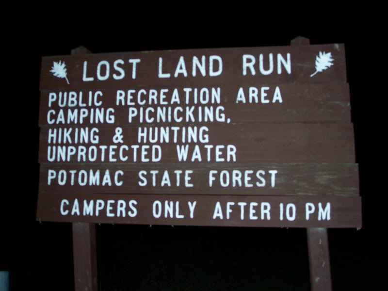
No vehicles after 10 p.m.? I had been the past two hours without my vehicle! You know what is funny? This sign is right next to a parking lot that is probably 300 feet from the cache. I had just clawed my way through something like a half mile of forest and down one mountain and up another. Isn't that funny. Ha. Ha. Funny. But honestly, I knew within about five minutes that what I was doing was too extreme for a cache that was part of the CAM event. What I expected to find was exactly this. I could have turned back after a few minutes going obviously wrong, but I didn't. I figured it would eventually turn into something right.


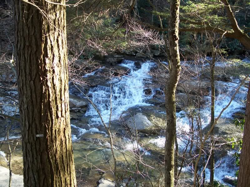
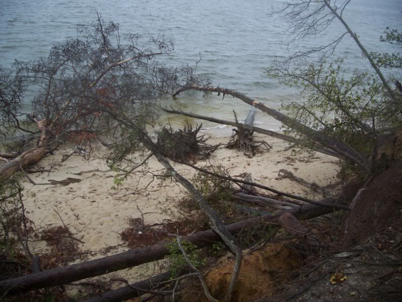
So here is a picture of Cascade Falls through the trees.


And here a picture of the falls from a rock that is kind of in the middle of the (Potomac) river.


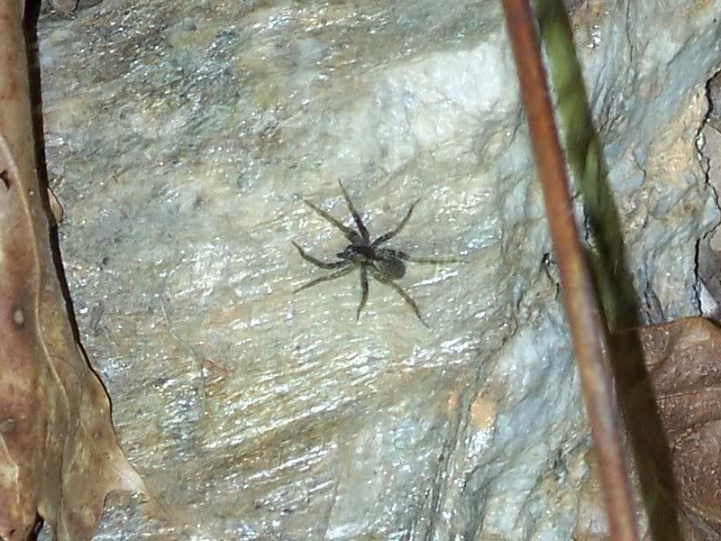
So off I went in search of the cache. Obviously, some of my fellow humans had been here before. When I can spot the tracks, they must be obvious. Maybe more obvious than they are in this picture. But I saw shoe prints in the mud. That weren't mine. They didn't lead straight to the cache, but it was obvious another hunter had been here.


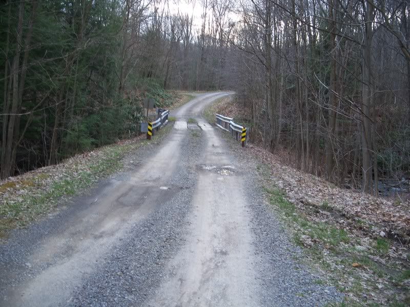
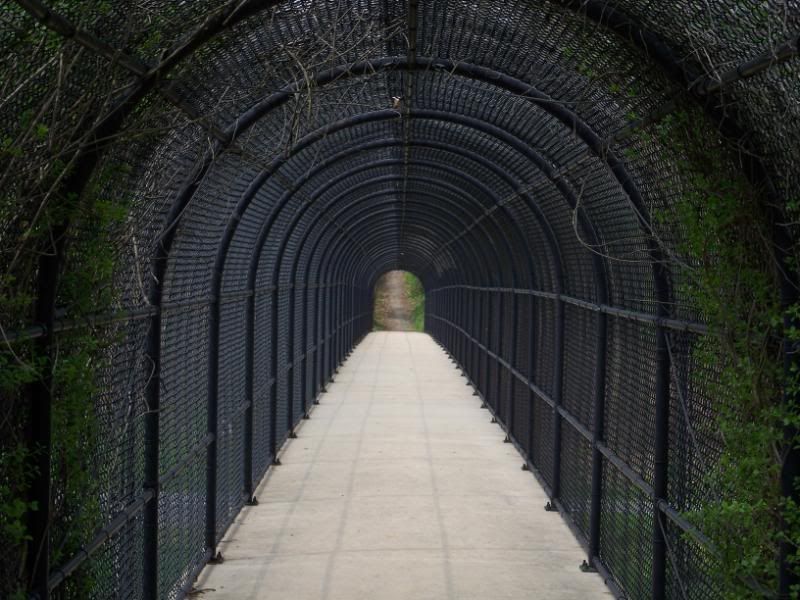
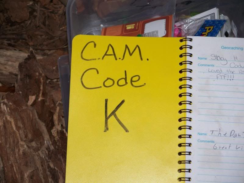
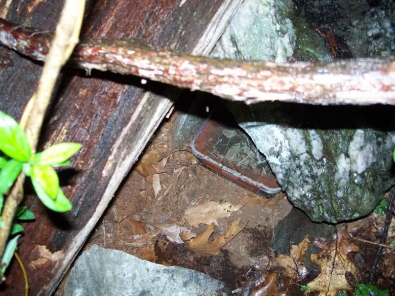
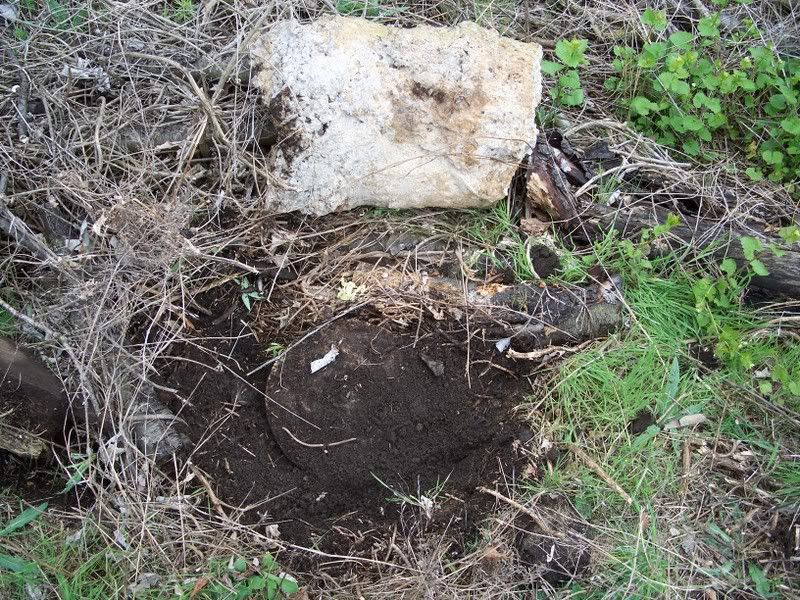
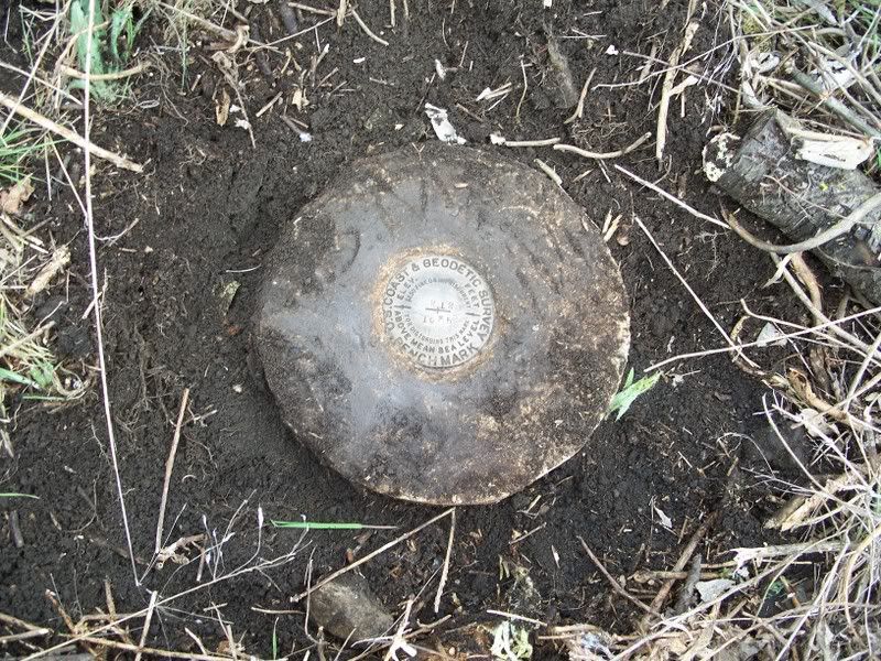
Cache found. And now I had another challenge. My trusty GPS device was kind enough to tell me that there was about an hour until the sun set. That's not such a problem, except that my trek through the woods has taken over two hours. I decide to walk back along the road instead. I kind of had an idea how I could walk along the roads back to my car at this point. What I didn't realize was just how long that would take. But it does go quicker. For instance, instead of clinging to fallen trees to cross rivers, you can use things like this bridge.


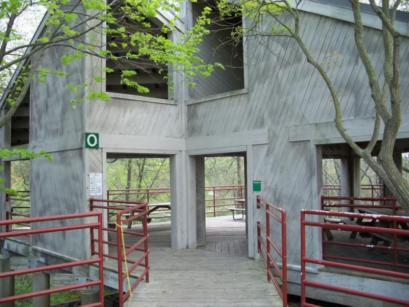
There are also shelters along the road. Which if I am going to be out here all night on the mountain in the cold with no jacket and no way to make a fire, and no food, at least I've got shelter taken care of.


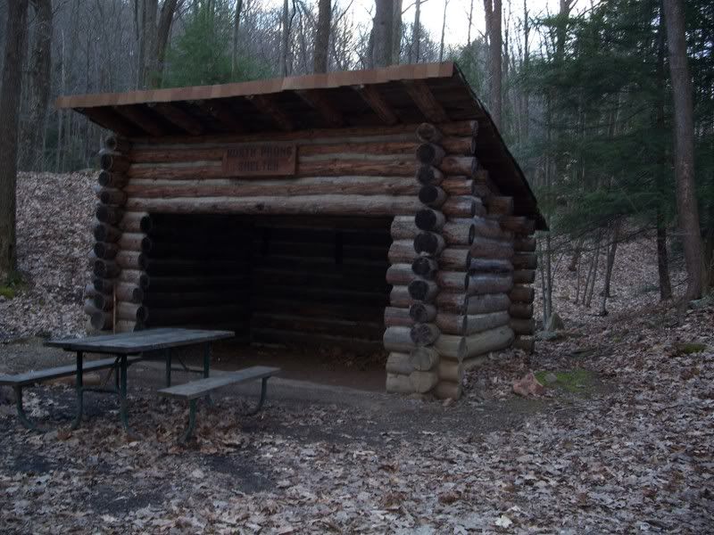
Onward I walked and found another shelter along the road, the North Prong Shelter. So yeah, it's a shelter, but it still might have been a bit breezy in there.


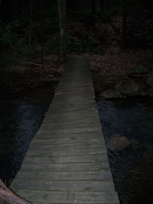
Well, as I walked, I realized that my plan of following the road was going to take a lot longer than I wanted. My car was parked at the top of one ridge and I was on another ridge. I was debating going back into the woods when I saw this foot bridge which would take me across the river so that I could make it back to my car. It was about this time that a random guy appeared out of the woods on the road behind me wearing a white T-shirt and camouflage pants. That was kind of weird and maybe a little unsettling. But it didn't deter me from walking off the road and down a very steep slope to the bridge, where I crossed to the other side and proceeded back into the middle of nowhere.


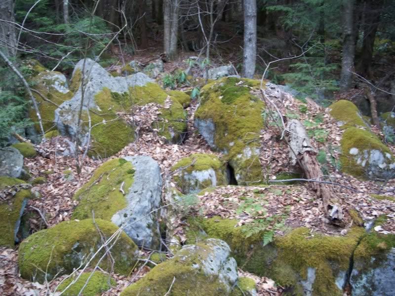
I stopped in my hiking through the woods to take a picture of the moss on these rocks, which you can plainly see grows only on the north side of the rocks. Except for where it is also growing on the east, west, and south sides of different rocks. At this point I am back in the middle of nothing, only this time with about twenty minutes of daylight left.


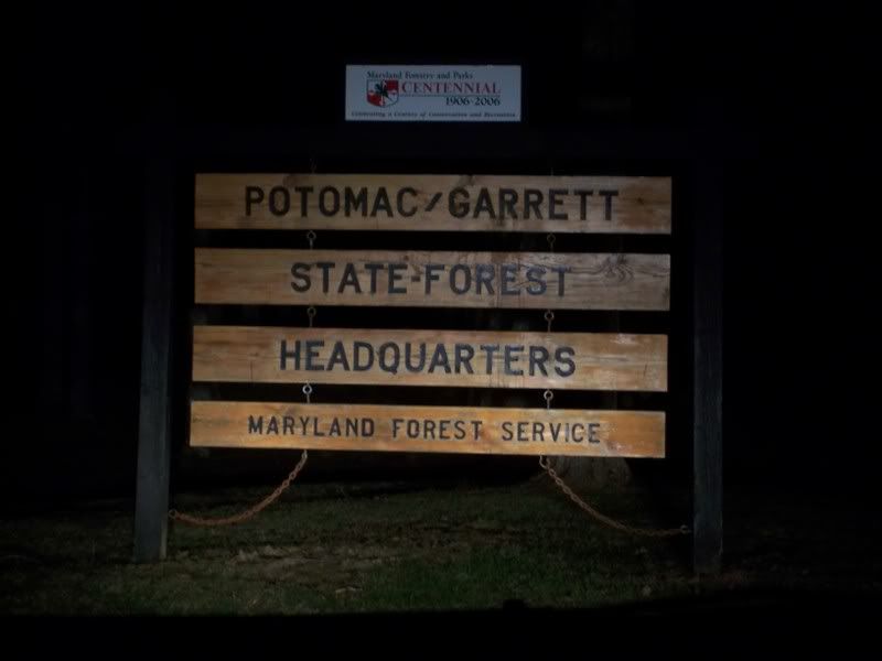
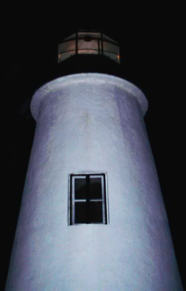
Eventually, well after sunset, I made it back to my car. Once I was in my car, I drove back along the road to get to the spot where I should have taken the turn, which isn't well marked. Here's a sign for the state forest headquarters, near where you turn off to go to the cache. Notice that it is dark . . . .


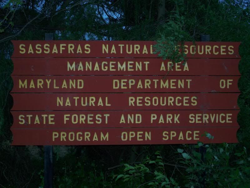
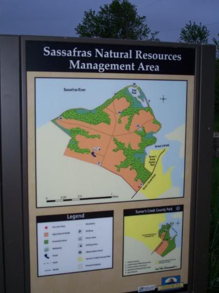
The official name of the area in which I was officially publicly recreating. Apparently, I still had about 45 minutes before my misadventure turned me from a geocacher into a camper. But, having found the cache here, I wanted to head out before that happened. Because, after all, there were two CAM caches in far Western Maryland, and I was bound and determined to find them both while I was out this far so I would not have to come back later. So one down, one to go, which is kind of bad, since it's already after 9:00 p.m. at this point.


Not too late for one little bonus cache on the way to the other one. It just seemed a shame not to hit this one on the way to the other one. Of course, that made me even later to try to find the other cache. But not too much!


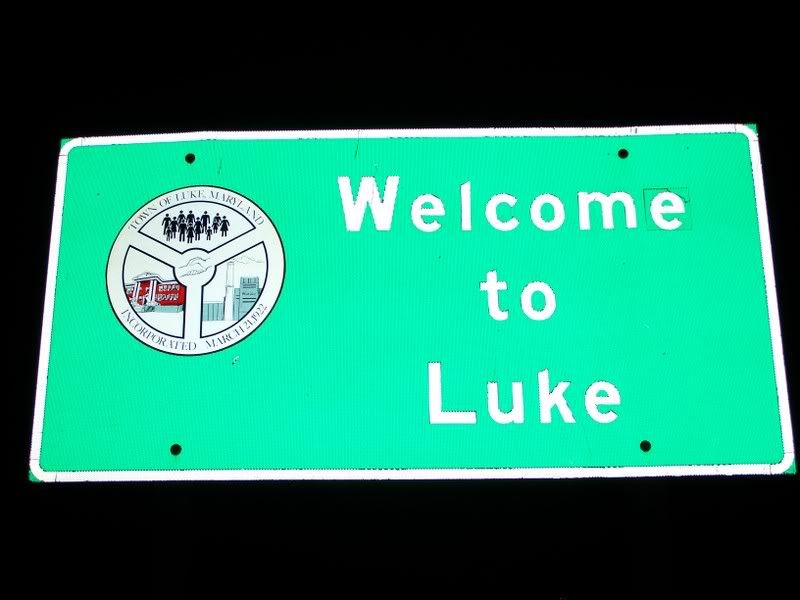
On my way to the other cache site, I passed through Luke, Maryland. This is interesting because I have a first cousin once-removed named Luke. So I took a picture of the sign.


This is another prominent sign in Luke. It sits at the corner of a right angle turn, just before you get into the town.


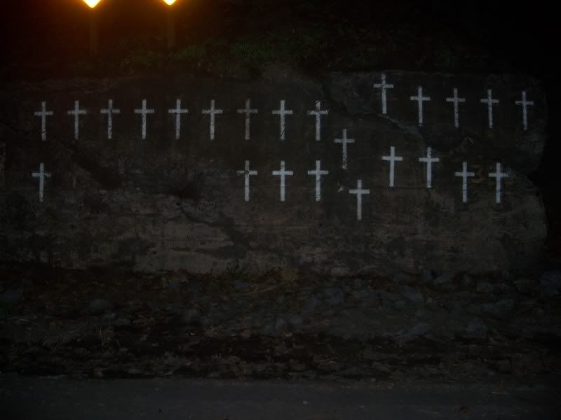
Presumably, these people never made it. I pulled over and was trying to decide whether or not to take a picture of this. While I was making up my mind, another group pulled over and took a picture of it. So once again I have ended a blog entry with pictures of a memorial to the dead. That's just the way it is. After this I made my way back to Cressaptown, and then on to near Cumberland to hunt one last cache before going home. But that will have to wait until the next installment.


Saturday, April 12, 2008 

Category: Life