Having zero luck with Eden Mill the previous weekend, and only 2 out of 10 caches for CAM found, and with the CAM picnic next weekend, I had to do something drastic. So drastic I had fun all week thinking about how hard it was going to be and just how silly it was to do. Were all these people in the same boat?
Most likely not.
I did wonder how many of them were hiking the Appalachian Trail for fun--and how many were hiking with a purpose, like me! And note that the Intrepid is doing all of the difficult geocaching driving.
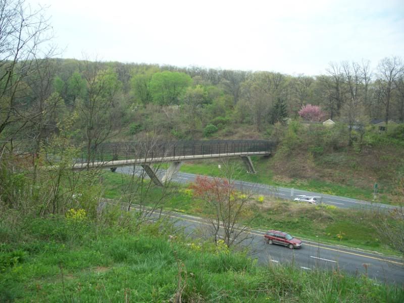
This is a picture of the pedestrian bridge that connects the trail across Interstate 70. I drive under this bridge every day when I go to work. I've lived in this area and known about this bridge forever. I never set foot on it until this day while I was out hunting caches for CAM. Not that I had to, mind you. The part of the trail that is to the right in this picture, I've hiked many times, only I go up a different way. The part to the left I had never been on until I went hunting for the cache.
The cache was here.
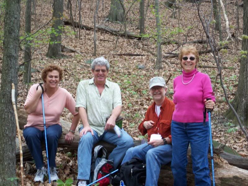
So were these other geocachers. Maybe they have a blog and I am in it? They will probably write about how we all set off after replacing the cache and I set us off in the wrong direction. Oops. Fortunately they didn't listen to me for very long before checking their own GPS devices and turning us around. They were on their way west to find their last two caches, which funny enough, were the only two I had done. At 8 out of 10, they were in much better shape than I at 2 out of 10. Maybe they make less wrong turns.
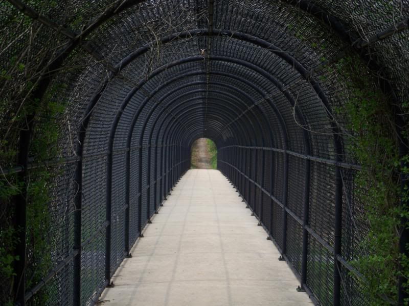
Here is an artsy photo of the bridge, for people who like artsy photos of this kind. I think a picture much like this one won a prize in the photo contest for CAM. It was funny to see that several of the areas I took pictures also inspired other people to take pictures. Nobody tried a night photo like me, though! Of course, there were several reasons for that, involving things like more preparation, better scheduling, and common sense, but I digress.
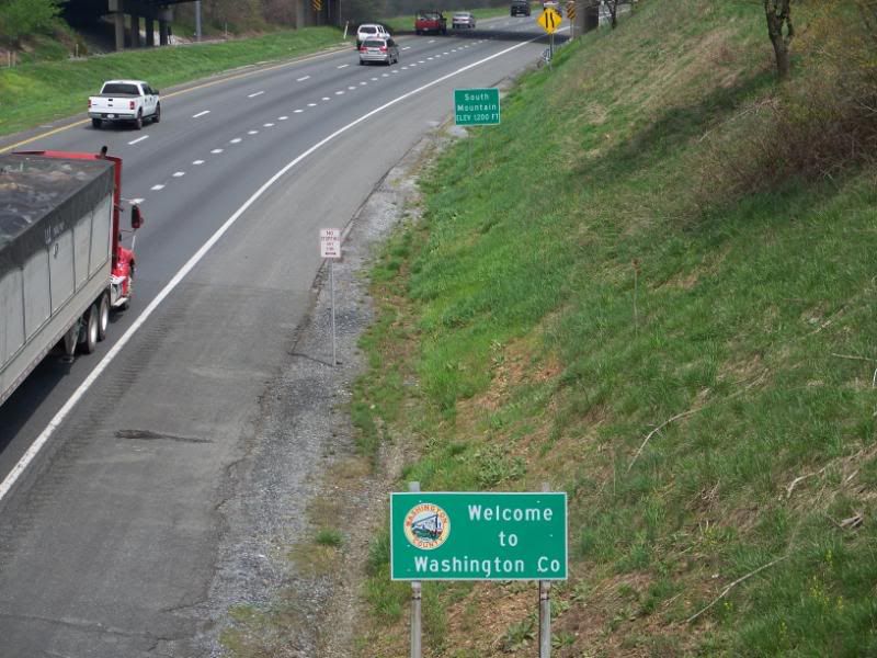
I took this picture on the bridge. I also see these signs every day coming home from work. So I had one more cache down. I decided I would eat lunch before setting off to find my next cache. I didn't take any pictures of lunch, sorry.
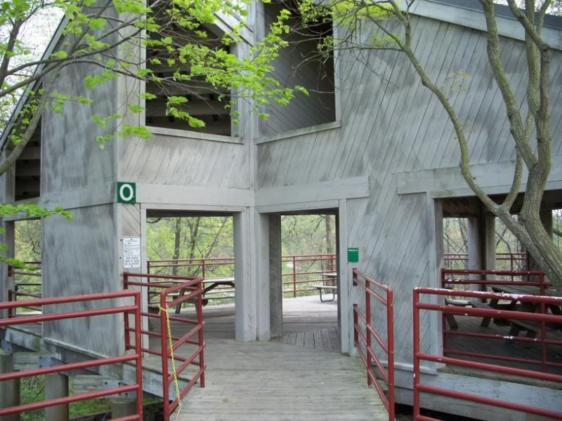
This is Pavilion O at Centennial Park. On one side, there is a path that leads down to a paved foot and bike trail that runs around the park. On the other side, there is a wooded area filled with scrub brush. Guess which way I should have went. And guess which way I did go. And then guess if they are the same. A hint: no.
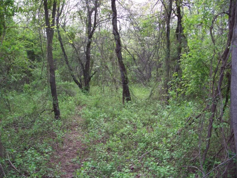
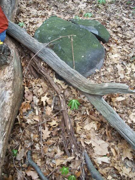
No, instead I worked myself through stuff like this.
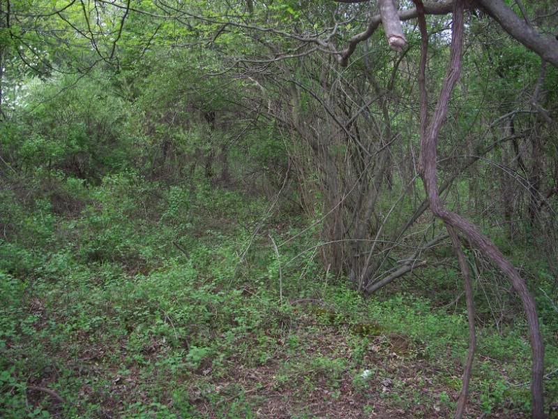
Or this. I'm basically taking pictures around where I was looking for the cache here.
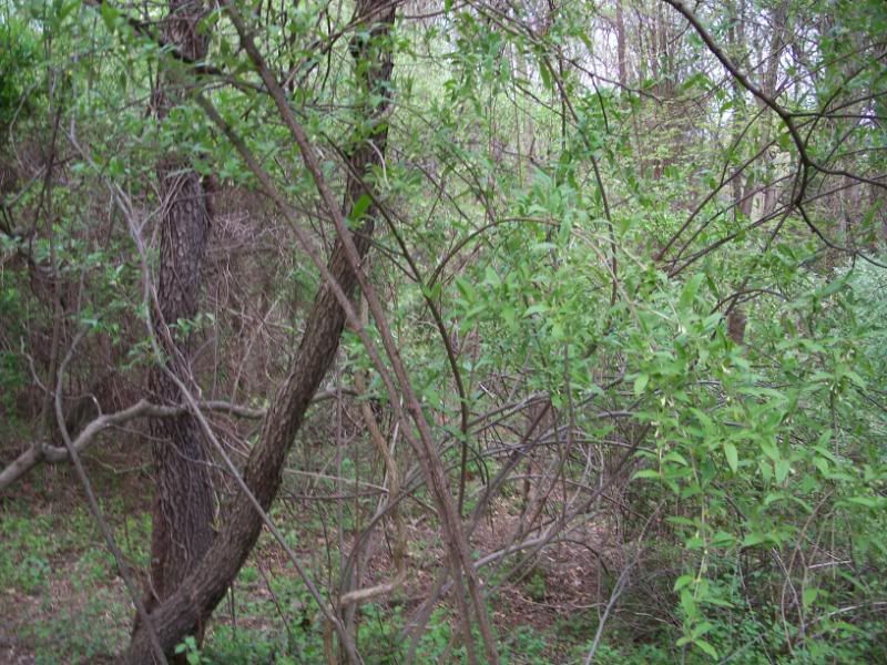
More of the same. This looks pretty remote, huh?
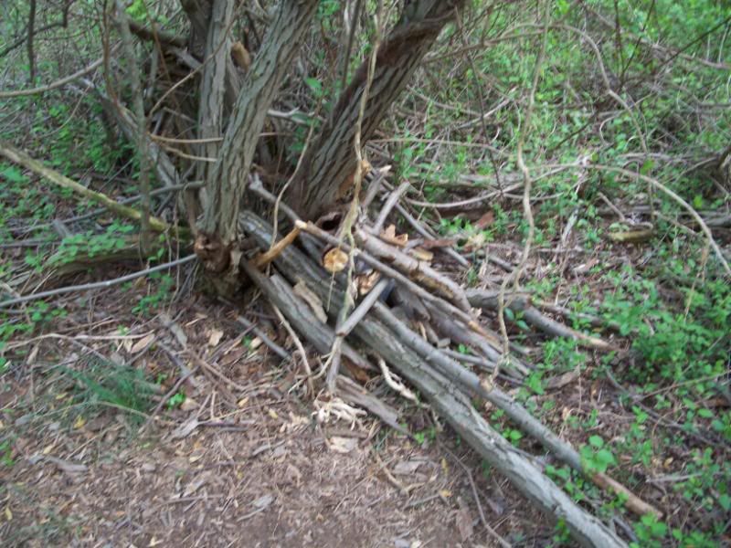
So remote somebody is starting a fire? Hmm. Or hiding a cache maybe.
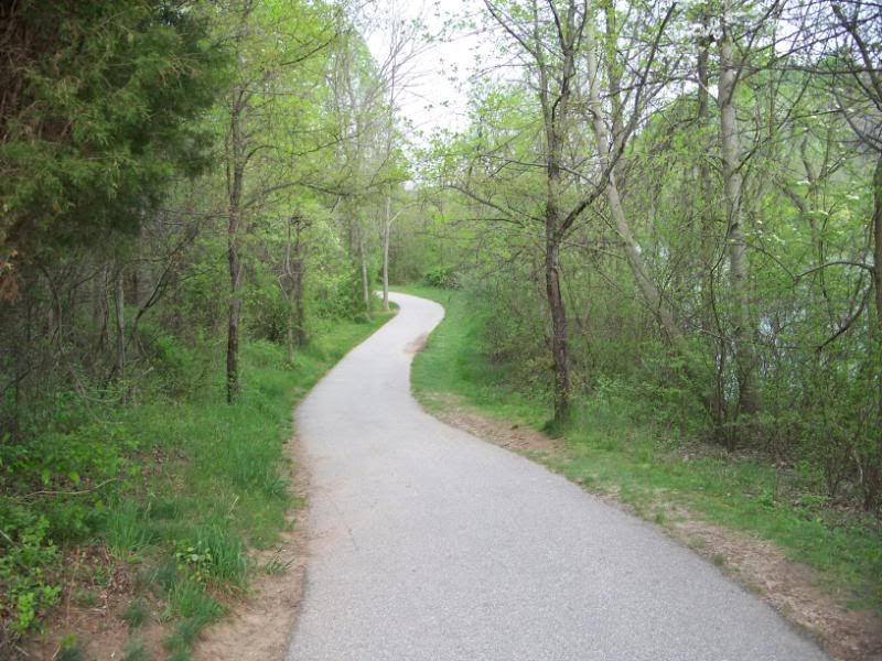
While the other places I was taking pictures in, where it looked remote, it really was remote, that's not the case here. About 30 feet beyond those trees was this nice path.
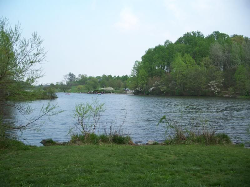
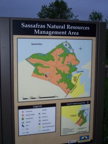
And a nice lake. Centennial Park is a really nice park. The cache find here I made harder than it needed to be, but only by a little. So next it was off to the Sassafrass Overlook.
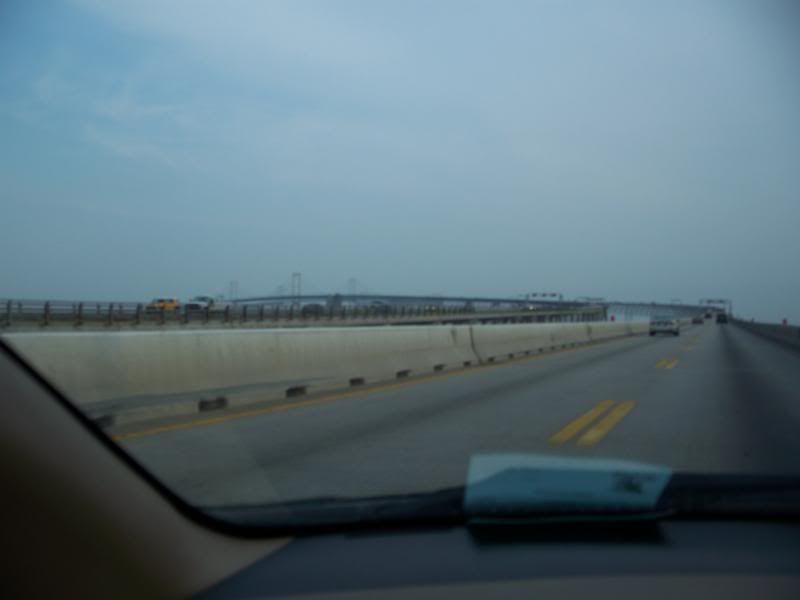
I took this picture getting onto the Chesapeake Bay Bridge. The skies were a little overcast at this point.
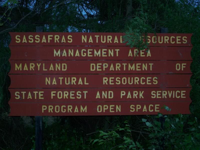
Once again, the sign is a little dark because I am arriving with about an hour of daylight left.
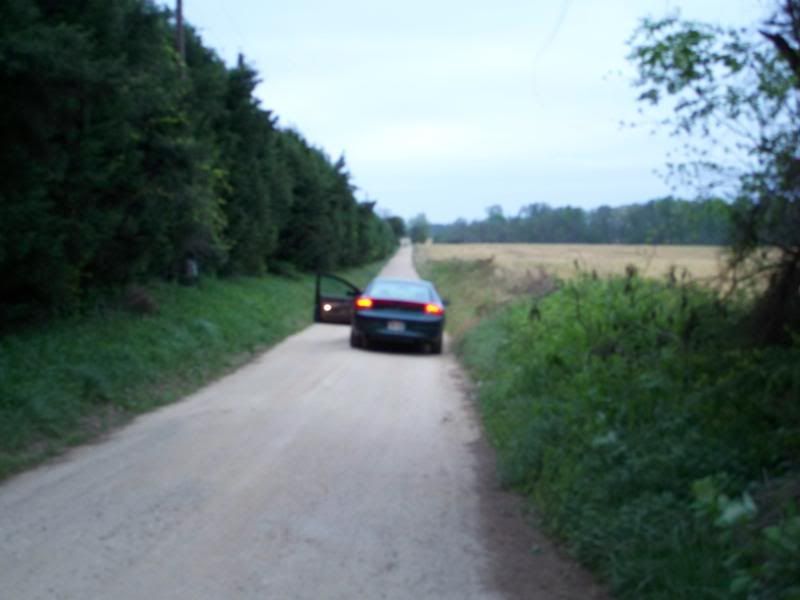
Keep in mind, this long dirt road is only the road to get in where I have to get out of my car and walk another .8 mile to the spot where I am supposed to start looking for the cache.
It was kind of odd to find a new, computer-generated sign out in the middle of all this after driving along that dirt road, but here it is.
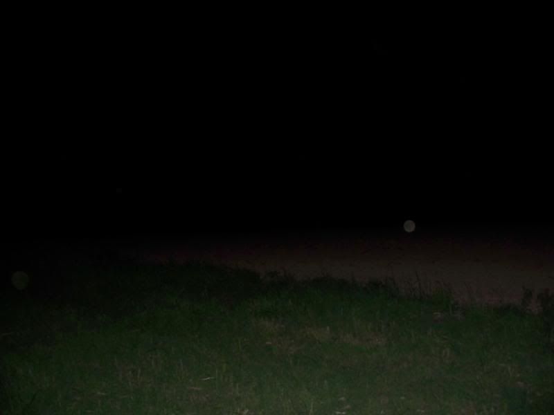
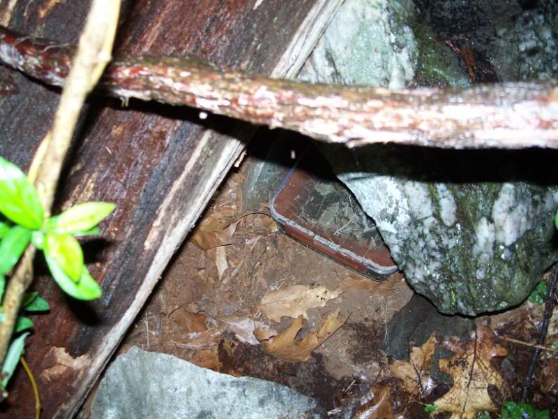
By the time I reached the cache and found it, this is what I could see--with the camera's flash. Without the flash, I took a picture, but it was nothing but totally black pixels everywhere in the picture. So if you want to see what I could see without the flash, just turn your monitor off and stare at it.
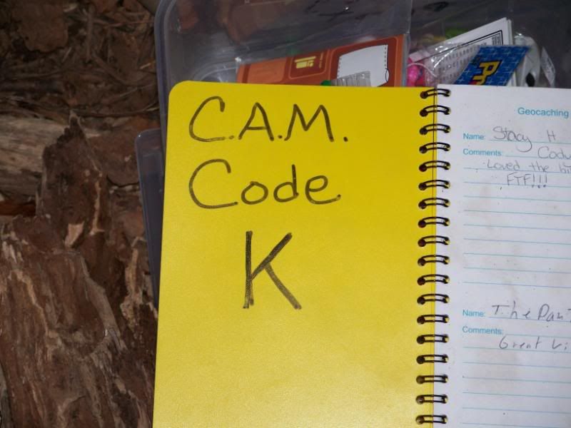
Actually, it's not that dark, but it is pretty dark. This is what I was hunting. Another letter to help me decode the location of the picnic. I actually spent a couple hours here and was starting to have nagging thoughts about what I was going to do if I had to abandon this search. Fortunately, on about my fourth or fifth time looking in the same spot, I finally caught a glimpse of the container.
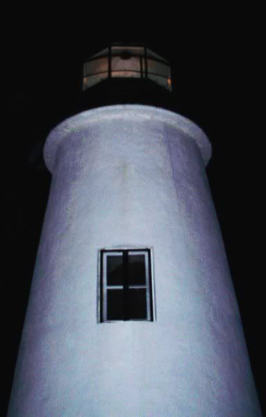
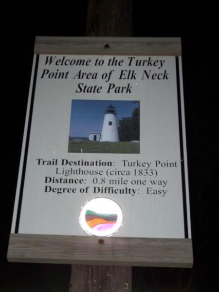
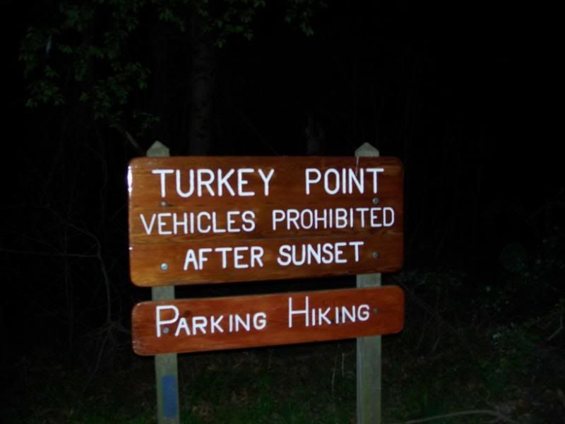
After that, it was off to Turkey Point, where this lighthouse is. If you look closely, you might be able to tell that the light is lit in the lighthouse, which is really kind of freaky to see flashing in the trees when you're hiking through the woods at midnight.
As you can see, this is not a difficult hike.
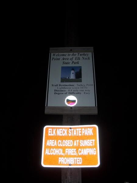
Well, OK, the fact that the park is closed after sunset and it is midnight makes it a little less easy.
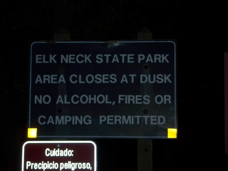
Just another sign, in case you missed the other one.
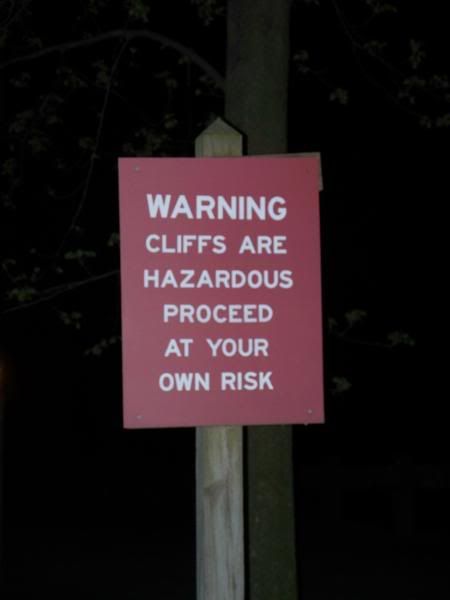
And well, OK, maybe the cliffs make it not such a good idea to hike at night. But other than that, it's easy. Well, there was a steady, cold wind and some rain, too.
I made it back to my car just after midnight. I had pressed my luck long enough, so I got out of the parking lot. I drove up next to the ranger station and plotted my next course. While I did that there was a pretty hard rain. Fortunately, it didn't keep up on my long drive back to Eden Mill.
I arrived at Eden Mill at about 2:00 a.m. It was cold. It was raining. And armed with some slightly revised coordinates, I knew exactly where I was going to find the cache. It was a spot I had just started to search earlier but then decided to abandon because it was just too far off. I knew it was there. Mostly because I looked every place else. Once I realized that difficult search spot was in bounds, I pursued a difficult climb up to it and found the cache, shown here. After that, it was home to bed, where I deposited myself at about 5:30 a.m.
Of course, I had the joy of knowing when I went to bed that the next day I would be up to drive a little over two and a half hours just to get to a cache site, in this case, Myrtle Point. As an added exhaustion bonus, Dimmu Borgir and Behemoth were playing in D.C. later that night. As you can see by this photo, I left my house in time to get to this park with daylight left.
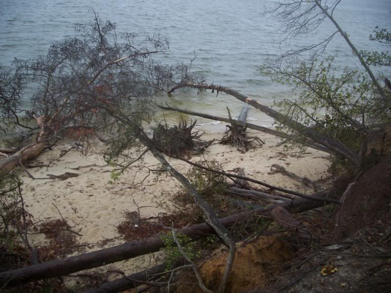
Here is another beach. It's a little washed out, but it probably would accomodate people better, were there any people so inclined, which I doubt.
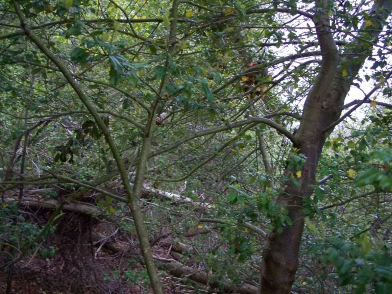
I wound up missing the opening act because this cache was trickier than most. Once I found it, I wasn't even sure how to get to it. But I did eventually. The cache is in through here somewhere. See how easy that is? At least I got to see nearly all of Behemoth's set and all of Dimmu Borgir's. I would scan the stub but all I got was like a movie ticket when I bought my ticket at the door.
And so, with that, in a space of just over 24 hours, I managed to find six additional CAM sites, making my total for the weekend 8 out of 10 caches found. Two more caches left with a free Friday night and a free Saturday afternoon, before the Sunday CAM 2008 picnic--a much more reasonable spot to be in. The next cache to attempt would be Sugarlaof Mountain, but that waits for another blog entry.
Sunday, April 27, 2008
Category: Life
No comments:
Post a Comment