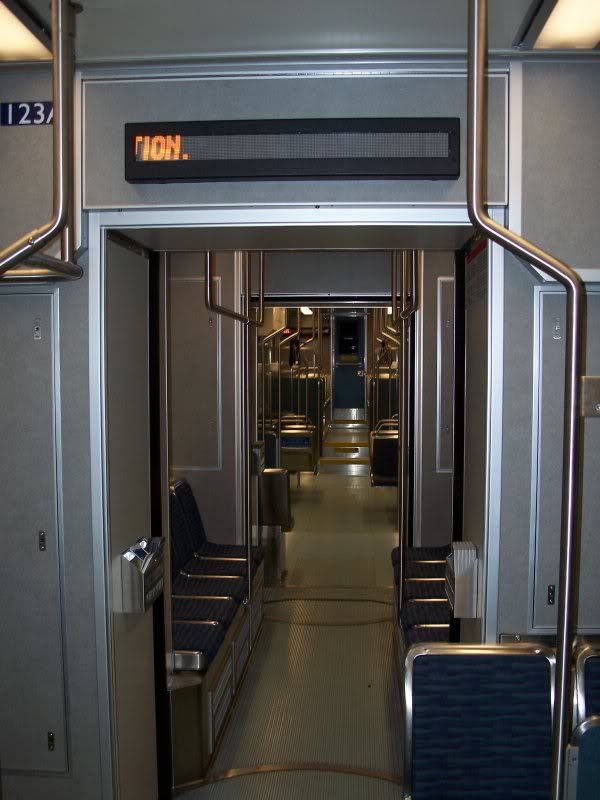
Wow am I behind on my blogging! So here is my first real blog entry on Blogger. This picture takes us back to March 2010 and the metro in Seattle, Washington.
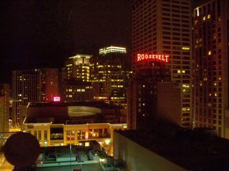
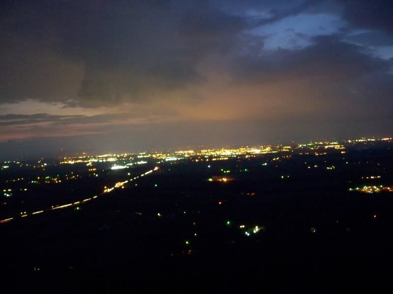
The view from my hotel room at night.

The registration area at TechReady10, the reason for my being in Seattle. It was late this time because the 2010 Winter Olympics in Vancouver, BC, Canada, had all the rooms in Seattle gobbled up.
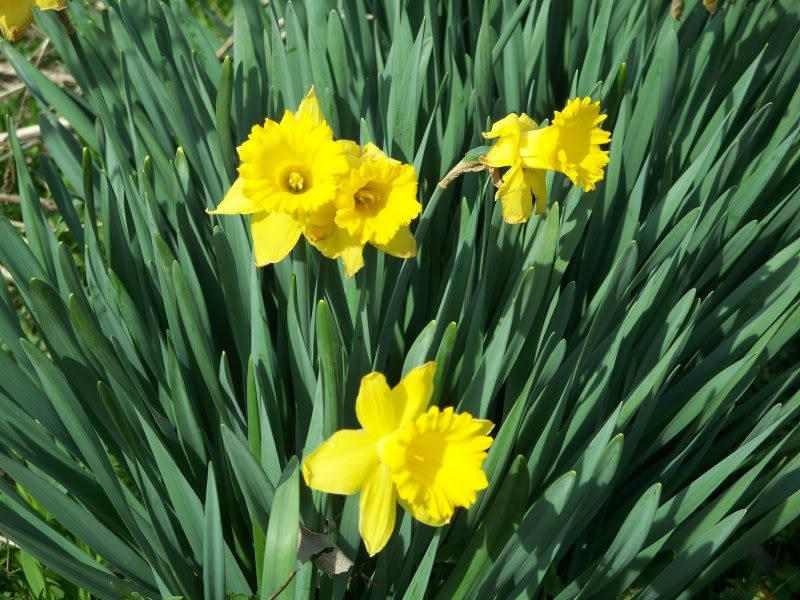
Moving on . . . these are April flowers that got a head start on all those other flowers in May.
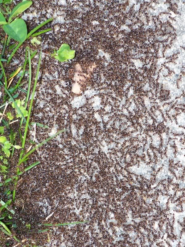
And what do April flowers bring? Ants apparently. These were all over a part of the sidewalk.
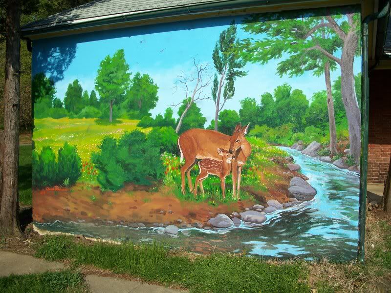
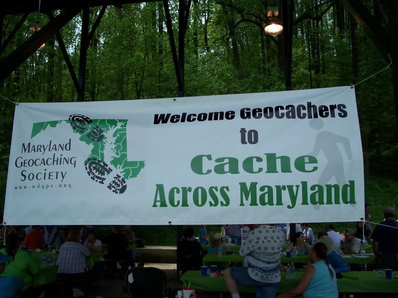
Spring also means it's time for Cache Across Maryland. This mural is in the Hall Spring area of Herring Run Park.
I was in the park to find the "CAM 2010 - Herring Run Park" geocache.
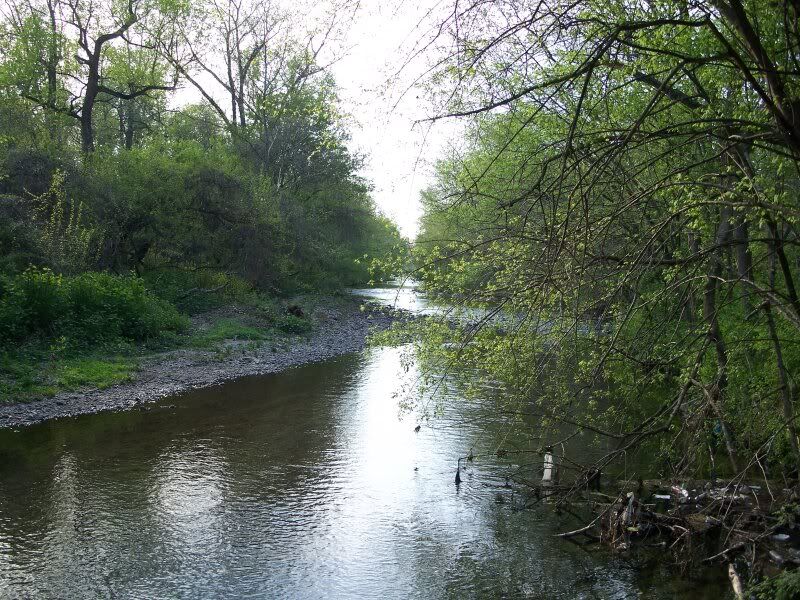
This is Herring Run, near the site of the cache. This is in the City of Baltimore, believe it or not. You might have a little less hard time if you noticed the trash floating in the river in the lower right corner of the picture. Still, relative to Baltimore, it's a really nice trail. Lots of dog walkers.
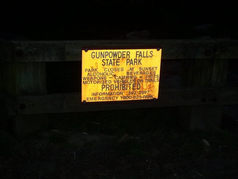
Note: Fire is prohibited in Gunpowder Falls State Park. See, if you didn't read these captions, you'd miss great commentary like that.
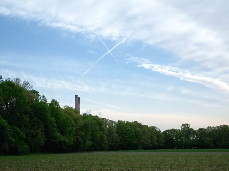
I had to get up early to take my parents to the airport, so for once, I actually got to a park very early in the morning, before it was even open! Even more unbelievable than that, this giant X was in the sky in the direction of the cache ("CAM 2010 - Maxwell Hall Park"). X actually marked the spot!
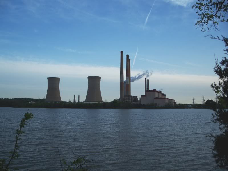
The Chalk Point Generating Plant along the nearby Patuxent River.
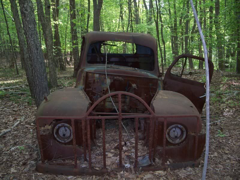
This rusted out old truck is in the middle of a horse trail, which I was on sans horse, in pursuit of another geocache in the park.
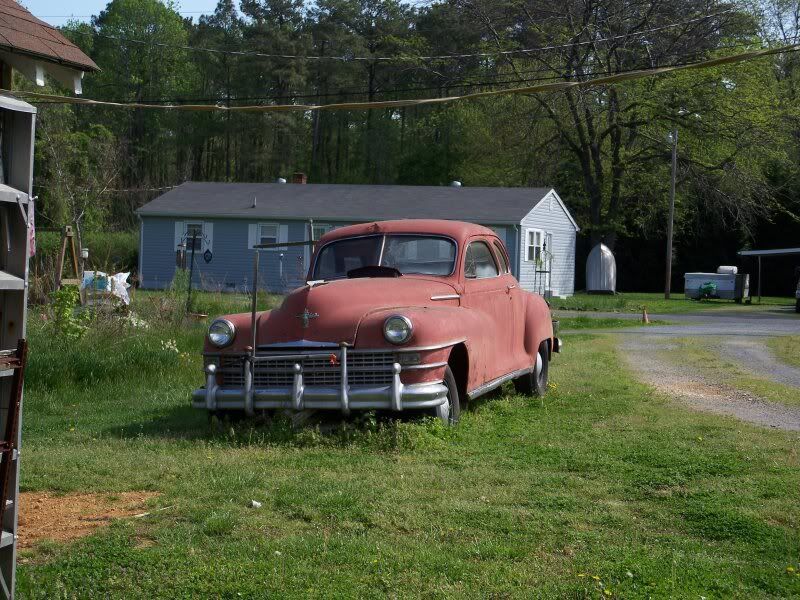
When I arrived at the next CAM stop, near the St. Clement's Island Museum, I saw this old car. Only it is sitting in someone's yard, not in the middle of a horse trail.
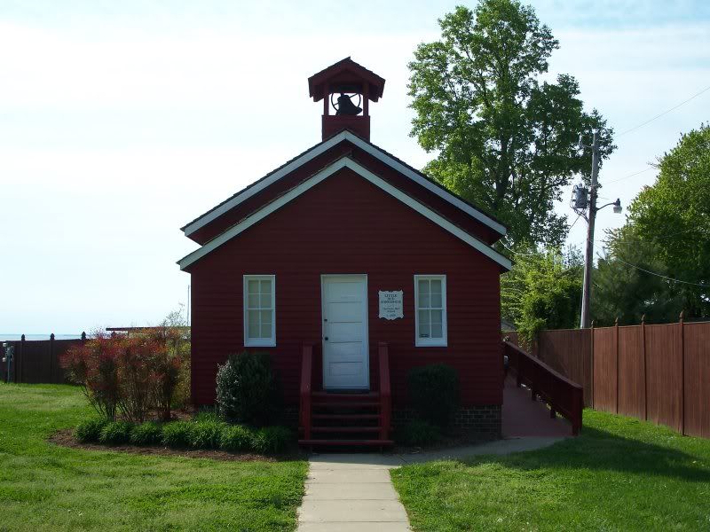
Also nearby, The Little Red School House, a.k.a. Charlotte Hall School, c. 1820.
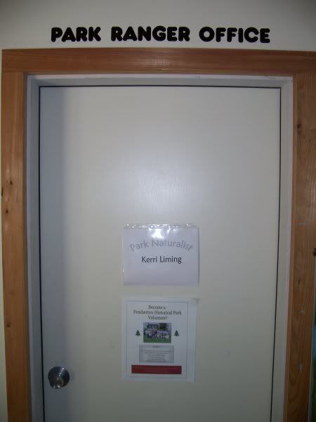
The Park Ranger Office at Pemberton Historial Park. Home, I take it, of Park Naturalist Kerri Liming. I just liked the lettering above the door.
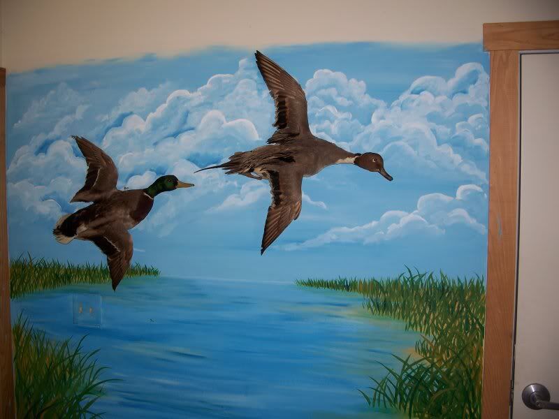
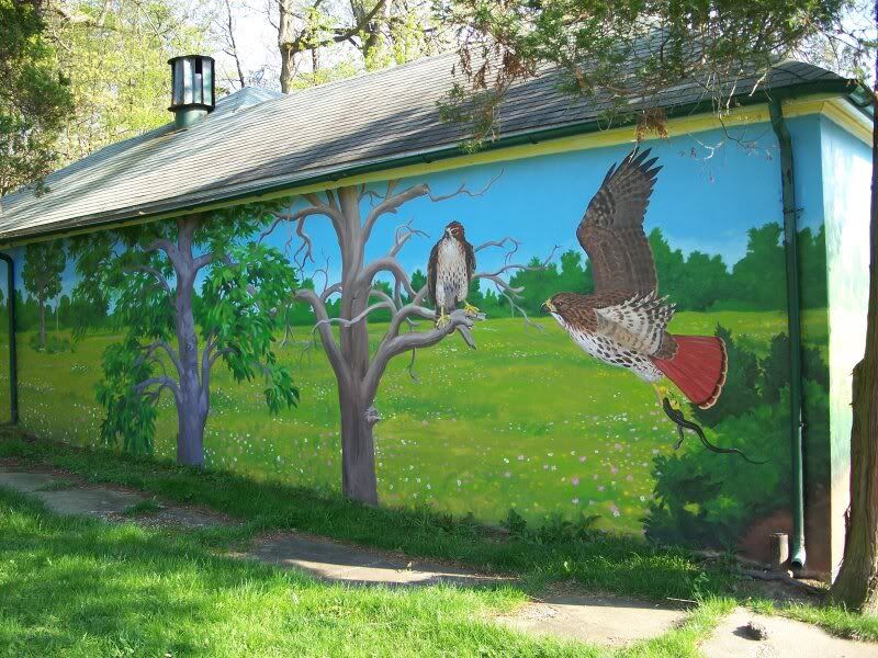
Another mural, this one near the park ranger's office.
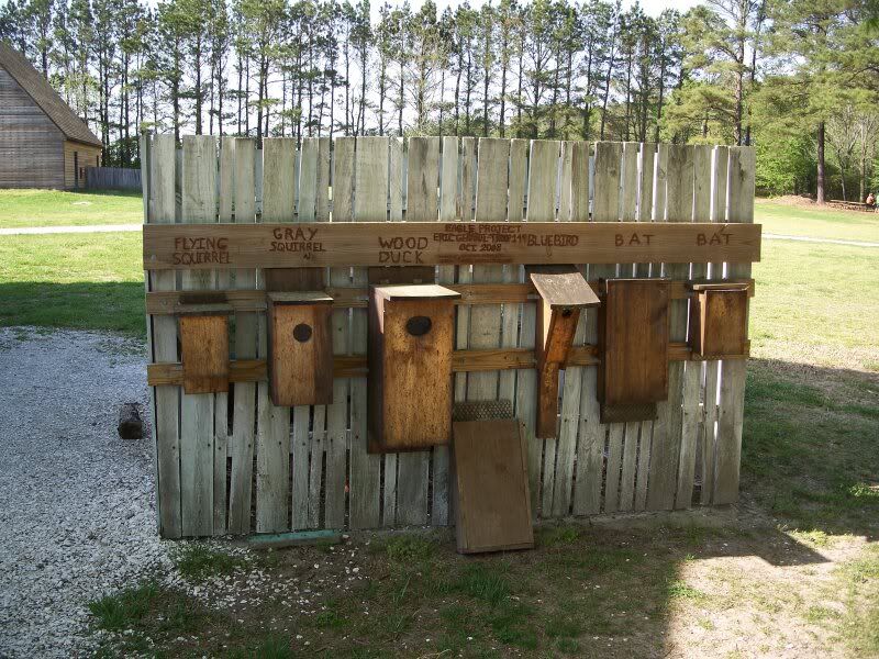
This interpretive display lets you know what sort of houses you're looking at. I'm not sure what that extra bat house is doing there on the ground.
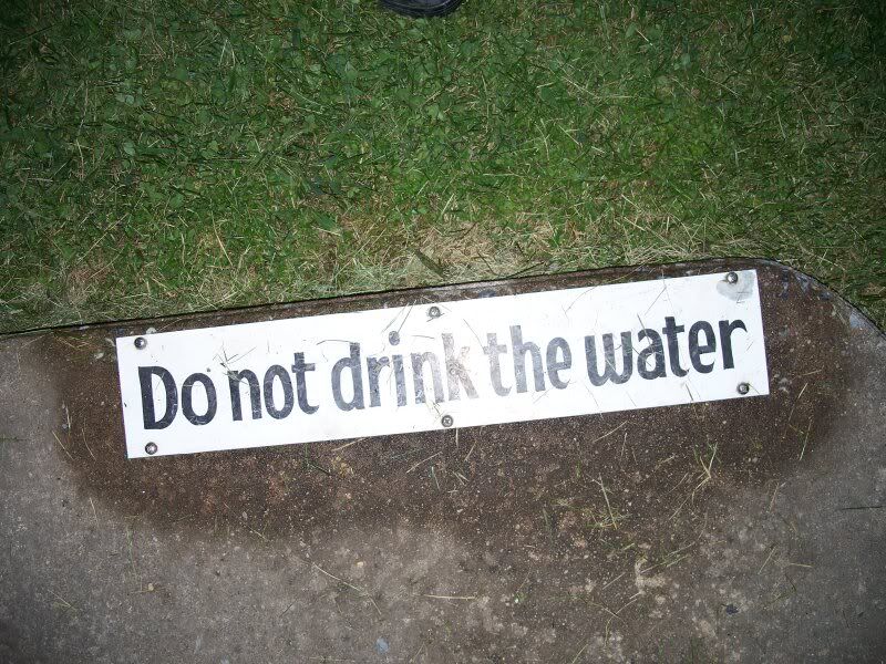
Don't do it! Courtesy the folks at the Silver Run - Union Mills Community Park.
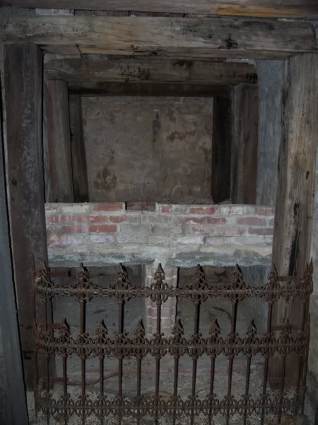
This picture answers the question, "Who is buried in Gath's tomb?" The tomb is located in Gathland State Park, in Gapland, Maryland.
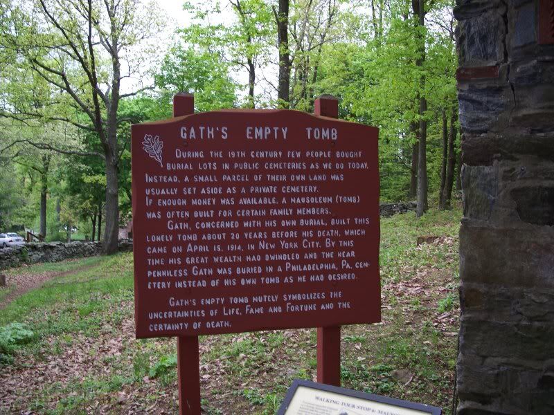
And this historical marker answers the question that naturally follows from the previous answer.
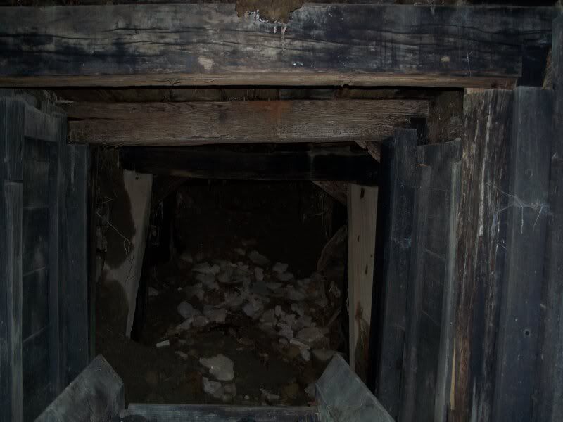
One of the last 2010 CAM cache locations I visited, the site of the Old Brant Mine, along the Meadow Mountain Trail in the Deep Creek Lake Recreation Area.
The end goal of CAM 2010: the CAM picnic!
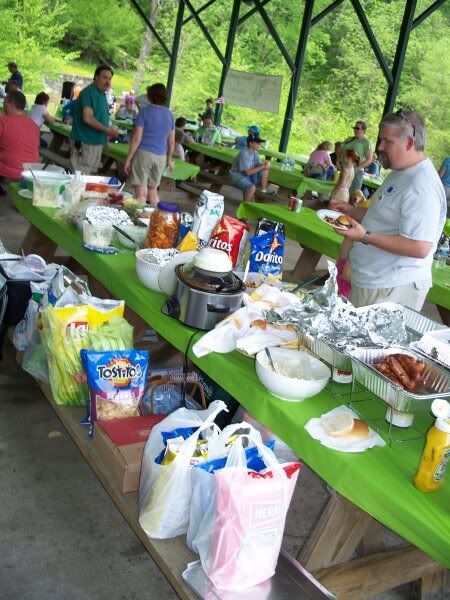
There was picnic food, of course.
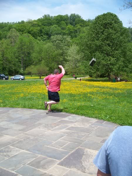
Another big event is the cache toss, a sort of shotput event that involves throwing a heavy ammo can (a favorite type of geocache container) as far as possible. It's pretty heavy, but if you get a lucky bounce it can roll far. I got a lucky bounce and won, but I thought it was really too close to call between me and the second place finisher, so I challanged the top 2 runners-up to a "toss off." I didn't get a lucky bounce the second time, though, and lost out to the original second place finisher. I took this picture, so that is not me in it. I don't know if anybody took a picture of me!
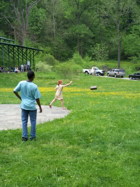
There is also a junior division of the ammo can toss! Here a member of the geocaching team The Incredibles gives the can a mighty toss.
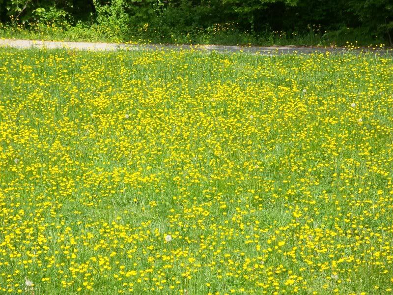
More yellow flowers. That's it for CAM 2010.
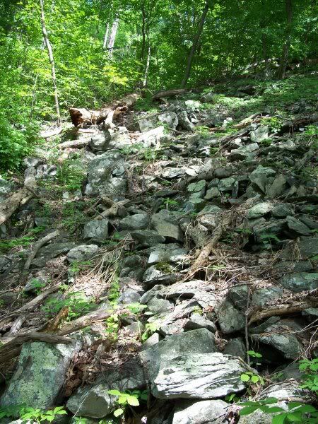
After traveling all over Maryland to find caches, I went back to the Appalachian Trail (well, technically, an area on South Mountain near the trail) near where I live. The cache at this site was described as being under a big rock. So, lots of help there, eh?
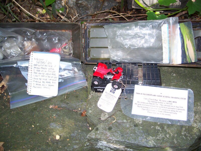
The cache container (an ammo can!) for this cache ("Steep Creek"). The cache was marked as lost by the cache owner but I found it!
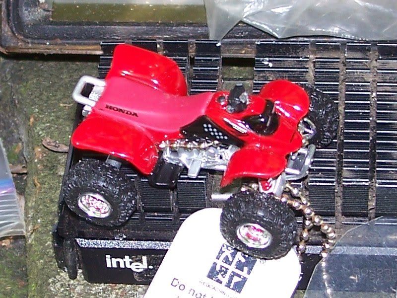
This is the travel bug known as Big Red ATV. Clink on the link to read the story of Big Red. I was happy to recover Big Red in May and help him along his way (more on that in a subsequent blog entry, hopefully written before another six months goes by!).
A picture from the Black Rock view on the Appalachian Trail one evening in June. It's a little over-exposed; it was not quite that bright, but it was not night, either.
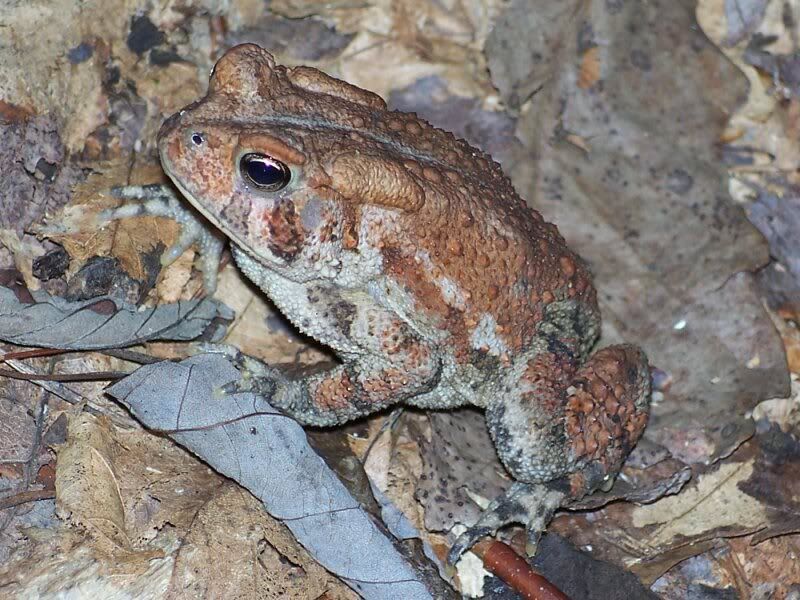
A couple weeks later, I nearly stepped on this guy. Fortunately for him, he jumped out of the way. Doubly fortunately for him, I had no interest in eating him after he gave away his location like that.
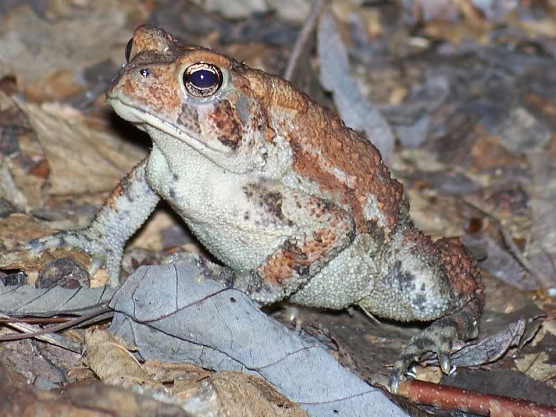
Same critter, different angle. I was pleased that I got a couple sharp close-up pictures out of my camera. I thought these turned out well. That's it for this blog entry!
No comments:
Post a Comment